Khirbet Tin Mahmoud
| Khirbet al-Tin Mahmoud خربة تين محمود Khirbet at-Teen Mahmud | |
|---|---|
 Khirbet al-Tin Mahmoud Location in Syria | |
| Coordinates: 34°46′26″N 36°34′6″E / 34.77389°N 36.56833°E | |
| Country |
|
| Governorate | Homs Governorate |
| District | Homs District |
| Nahiya | Khirbet Tin Nur |
| Population (2004) | |
| • Total | 866 |
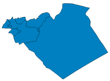
Khirbet al-Tin Mahmoud (Arabic: خربة تين محمود, also spelled Khirbet at-Teen Mahmud) is a village in western Syria, administratively part of the Homs Governorate, east of Homs. Nearby localities include Khirbet al-Sawda to the northeast, al-Ghor al-Gharbiya to the north, Shin to the west and Khirbet Tin Nur to the south. According to the Central Bureau of Statistics (CBS), Khirbet al-Tin Mahmoud had a population of 866 in the 2004 census.[1] Its inhabitants are predominantly Turkmens.
References
- ↑ General Census of Population and Housing 2004. Syria Central Bureau of Statistics (CBS). Homs Governorate. (Arabic)
| ||||||||||||||||||||||||||||||||||||||||||||||||||||||||||||||||||||||||||||||||||||||||||||||||||||||||||||||||||||||||||||||||||||||||||||||||
This article is issued from Wikipedia - version of the Tuesday, October 13, 2015. The text is available under the Creative Commons Attribution/Share Alike but additional terms may apply for the media files.
