Keniston Bridge
|
Keniston Bridge | |
 | |
 | |
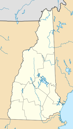
| Location | Bridge Rd. over Blackwater River, Andover, New Hampshire |
|---|---|
| Coordinates | 43°26′6″N 71°50′12″W / 43.43500°N 71.83667°WCoordinates: 43°26′6″N 71°50′12″W / 43.43500°N 71.83667°W |
| Area | 0.1 acres (0.040 ha) |
| Built | 1882 |
| Built by | Hamilton,Albert R. |
| Architectural style | Town through truss |
| NRHP Reference # | 89000190[1] |
| Added to NRHP | March 16, 1989 |
The Keniston Bridge is a historic covered bridge in Andover, New Hampshire, carrying Bridge Street over the Blackwater River. Built in 1882, it is of Town through truss construction, mounted on granite bridge abutments that have been partially rebuilt in concrete. Much of the fabric of the bridge is original, although strengthening elements (wooden chords and steel beams) have been added to the trusses and the road bed, and portions of the downstream truss have been replaced. The bridge is topped by a wooden shingle roof, and measures 73 feet (22 m) in length and 19 feet (5.8 m) in width. The distance between the abutments on which it rests in 51 feet (16 m). The bridge was built by a local builder, Albert Hamilton, and underwent repairs and renovations in 1949 and 1981. Unlike many covered bridges, its sides are not completely sheathed.[2]
The bridge was listed on the National Register of Historic Places in 1989.[1]
See also
- National Register of Historic Places listings in Merrimack County, New Hampshire
- List of bridges on the National Register of Historic Places in New Hampshire
References
- 1 2 Staff (2010-07-09). "National Register Information System". National Register of Historic Places. National Park Service.
- ↑ "NRHP nomination for Keniston Bridge" (PDF). National Park Service. Retrieved 2014-03-05.
| |||||||||||||||||||||
