Hawford
Coordinates: 52°14′40″N 2°13′35″W / 52.244554°N 2.226491°W
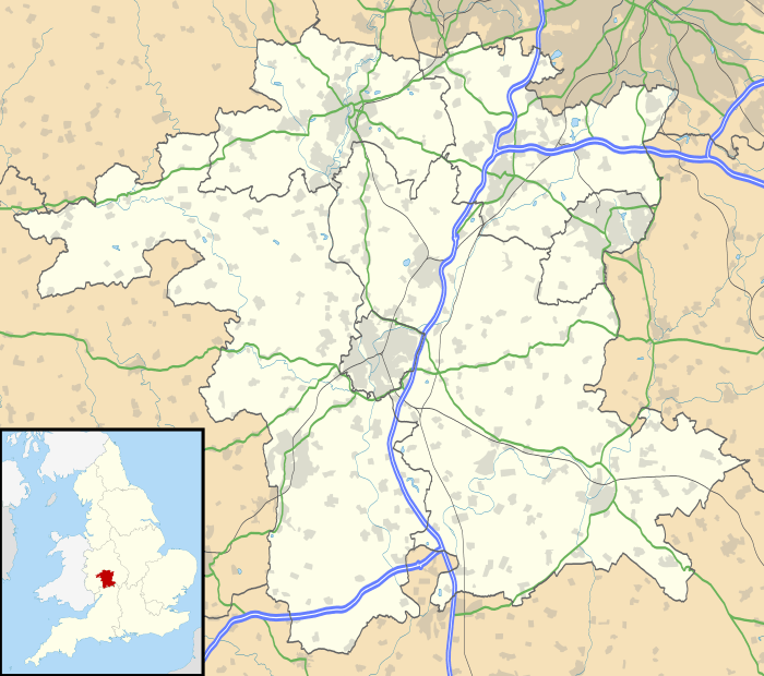
Hawford is a hamlet in Worcestershire, England. It falls within two parishes; Claines and Ombersley in the outer suburbs of Worcester about 3 miles from the city centre. It is bisected by the River Salwarpe, the Droitwich - Worcester Canal and is also bounded by the River Severn.
Landmarks
Hawford Dovecote, owned by the National Trust, is a 16th-century half-timbered building. It is a remnant of a former monastic grange.
External links
| Wikimedia Commons has media related to Hawford. |
This article is issued from Wikipedia - version of the Thursday, February 04, 2016. The text is available under the Creative Commons Attribution/Share Alike but additional terms may apply for the media files.

