Gøtueiði
| Gøtueiði | |
|---|---|
| Village | |
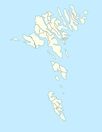 Gøtueiði Location in the Faroe Islands | |
| Coordinates: 62°10′30″N 6°46′19″W / 62.17500°N 6.77194°WCoordinates: 62°10′30″N 6°46′19″W / 62.17500°N 6.77194°W | |
| State |
|
| Constituent country |
|
| Island | Eysturoy |
| Municipality | Eystur |
| Founded | 1850 |
| Population | |
| • Total | 39 |
| Time zone | GMT |
| • Summer (DST) | EST (UTC+1) |
| Postal code | FO 666 |
Gøtueiði a town in the Faroe Islands, located deep in the Skalafjordur-inlet on Eysturoy, founded in 1850.
The village has now grown towards its neighbour-village Skipanes. During the 1980s there were religious tent-meetings in Gøtueiði.
Gotueidi consists of the villages/settlements Norðragøta (Northern Gøta), Syðrugøta (Southern Gøta), Gøtugjógv (Gøta's cleft) and Gøtueiði (Gøta's isthmus). They form part of the Eystur municipality.
See also
External links
- Faroeislands.dk: Gotueidi Images and description of all cities on the Faroe Islands.
This article is issued from Wikipedia - version of the Thursday, August 06, 2015. The text is available under the Creative Commons Attribution/Share Alike but additional terms may apply for the media files.