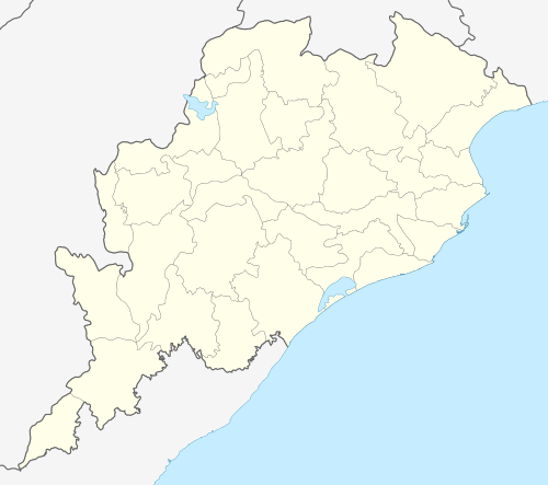
Durdura
| Durdura | |
|---|---|
| Village | |
 Durdura Location in Odisha, India | |
| Coordinates: 20°9′45″N 85°2′3″E / 20.16250°N 85.03417°ECoordinates: 20°9′45″N 85°2′3″E / 20.16250°N 85.03417°E | |
| Country |
|
| State | Odisha |
| District | Subarnapur |
| Area | |
| • Total | 0.70950 km2 (0.27394 sq mi) |
| Languages | |
| • Official | Oriya |
| Time zone | IST (UTC+5:30) |
Durdura is a village of Pitamahul gram panchayat of Birmaharajpur subdivision, Subarnapur district, Orissa, India. It is located on the side of the road connecting Birmaharajpur and Rairakhol town. Total area of this village is 175.321 acres (0.70950 km2).[1] It is located close to the forest area. Baurijore and Mahanadi are flowing near this village.
References
External links
| ||||||||||||||
This article is issued from Wikipedia - version of the Wednesday, February 12, 2014. The text is available under the Creative Commons Attribution/Share Alike but additional terms may apply for the media files.