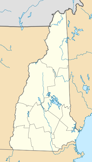
County Farm Bridge (Dover, New Hampshire)
|
County Farm Bridge | |
 | |
|
Pedestrian bridge and old abutments | |
 | |
| Nearest city | Dover, New Hampshire |
|---|---|
| Coordinates | 43°13′14″N 70°56′38″W / 43.22056°N 70.94389°WCoordinates: 43°13′14″N 70°56′38″W / 43.22056°N 70.94389°W |
| Area | 0.1 acres (0.040 ha) |
| Built | 1875 |
| Architectural style | Howe Truss |
| NRHP Reference # | 75000237[1] |
| Added to NRHP | May 21, 1975 |
The County Farm Bridge was a historic covered bridge in Dover, New Hampshire. The Howe truss bridge was built in 1875, and carried County Farm Road over the Cocheco River. It was 112.5 feet (34.3 m) long, and had an unusually low pitched roof. The bridge was probably built to serve the county farm, which was established nearby c. 1866.[2]
The bridge was listed on the National Register of Historic Places in 1975.[1] It burned in 1981,[3] but its abutments can still be viewed from a nature trail behind the county jail.
See also
- National Register of Historic Places listings in Strafford County, New Hampshire
- List of bridges on the National Register of Historic Places in New Hampshire
- List of New Hampshire covered bridges
References
- 1 2 Staff (2009-03-13). "National Register Information System". National Register of Historic Places. National Park Service.
- ↑ "NRHP nomination for County Farm Bridge" (PDF). National Park Service. Retrieved 2014-03-02.
- ↑ County Farm Bridge at Dover Public Library
| |||||||||||||||||||||
This article is issued from Wikipedia - version of the Monday, March 03, 2014. The text is available under the Creative Commons Attribution/Share Alike but additional terms may apply for the media files.
