Cleveland Municipal Airport (Mississippi)
| Cleveland Municipal Airport (former Cleveland Army Airfield) | |||||||||||
|---|---|---|---|---|---|---|---|---|---|---|---|
 USGS 2006 orthophoto | |||||||||||
| IATA: none – ICAO: KRNV – FAA LID: RNV | |||||||||||
| Summary | |||||||||||
| Airport type | Public | ||||||||||
| Owner | City of Cleveland | ||||||||||
| Serves | Cleveland, Mississippi | ||||||||||
| Elevation AMSL | 139 ft / 42 m | ||||||||||
| Coordinates | 33°45′40″N 090°45′28″W / 33.76111°N 90.75778°WCoordinates: 33°45′40″N 090°45′28″W / 33.76111°N 90.75778°W | ||||||||||
| Map | |||||||||||
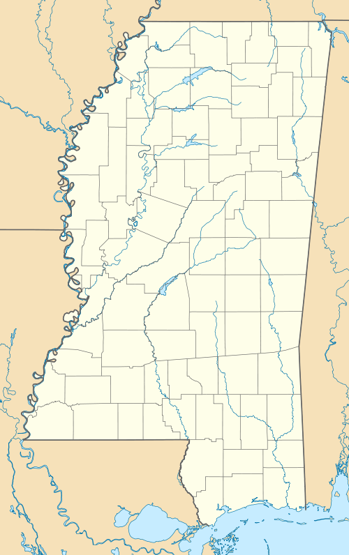
 RNV Location of airport in Mississippi | |||||||||||
| Runways | |||||||||||
| |||||||||||
| Statistics (2012) | |||||||||||
| |||||||||||
Cleveland Municipal Airport (ICAO: KRNV, FAA LID: RNV) is a public use airport in Bolivar County, Mississippi, United States.[1] It is owned by the City of Cleveland and located two nautical miles (4 km) northwest of its central business district.[1] This airport is included in the National Plan of Integrated Airport Systems for 2011–2015, which categorized it as a general aviation facility.[2] There is no scheduled commercial airline service.
Although many U.S. airports use the same three-letter location identifier for the FAA and IATA, this airport is assigned RNV by the FAA[1] but has no designation from the IATA.[3][4]
History
The airport was built by the United States Army Air Force and opened in April 1942 as a contract basic flying training airfield. Known as Cleveland Army Airfield, it was operated by the 3224th Air Base Unit, Contract Elementary Flying School (AAFFTC), Cleveland School of Aviation. Students were trained on Fairchild PT-23 and Boeing-Stearman PT-17 trainers. It operated until October 14, 1944 when the last class graduated. The equipment and aircraft at the base were declared excess and sold in November. The airfield was then turned over to civil authorities as an airport. [5] [6] [7]
Facilities and aircraft
Cleveland Municipal Airport covers an area of 133 acres (54 ha) at an elevation of 139 feet (42 m) above mean sea level. It has one runway designated 17/35 with an asphalt surface measuring 4,002 by 75 feet (1,220 x 23 m).[1]
For the 12-month period ending February 7, 2012, the airport had 57,850 general aviation aircraft operations, an average of 158 per day. At that time there were 48 aircraft based at this airport: 79% single-engine, 19% multi-engine, and 2% helicopter.[1]
See also
References
- 1 2 3 4 5 6 FAA Airport Master Record for RNV (Form 5010 PDF). Federal Aviation Administration. Effective November 15, 2012.
- ↑ "2011–2015 NPIAS Report, Appendix A" (PDF, 2.03 MB). National Plan of Integrated Airport Systems. Federal Aviation Administration. October 4, 2010. External link in
|work=(help) - ↑ "IATA Airport Code Search (RNV)". International Air Transport Association. Retrieved August 13, 2013.
- ↑ "Cleveland Municipal Airport (IATA: none, ICAO: KRNV, FAA: RNV)". Great Circle Mapper. Retrieved August 13, 2013.
- ↑
 This article incorporates public domain material from websites or documents of the Air Force Historical Research Agency.
 - ↑ Shaw, Frederick J. (2004), Locating Air Force Base Sites History’s Legacy, Air Force History and Museums Program, United States Air Force, Washington DC, 2004.
- ↑ Manning, Thomas A. (2005), History of Air Education and Training Command, 1942–2002. Office of History and Research, Headquarters, AETC, Randolph AFB, Texas ASIN: B000NYX3PC.
External links
- Aerial image from USGS The National Map
- FAA Terminal Procedures for RNV, effective January 7, 2016
- Resources for this airport:
- FAA airport information for RNV
- AirNav airport information for KRNV
- FlightAware airport information and live flight tracker
- NOAA/NWS latest weather observations
- SkyVector aeronautical chart, Terminal Procedures
| ||||||||||||||||||
