Choiceland
| Choiceland | |
|---|---|
| Town | |
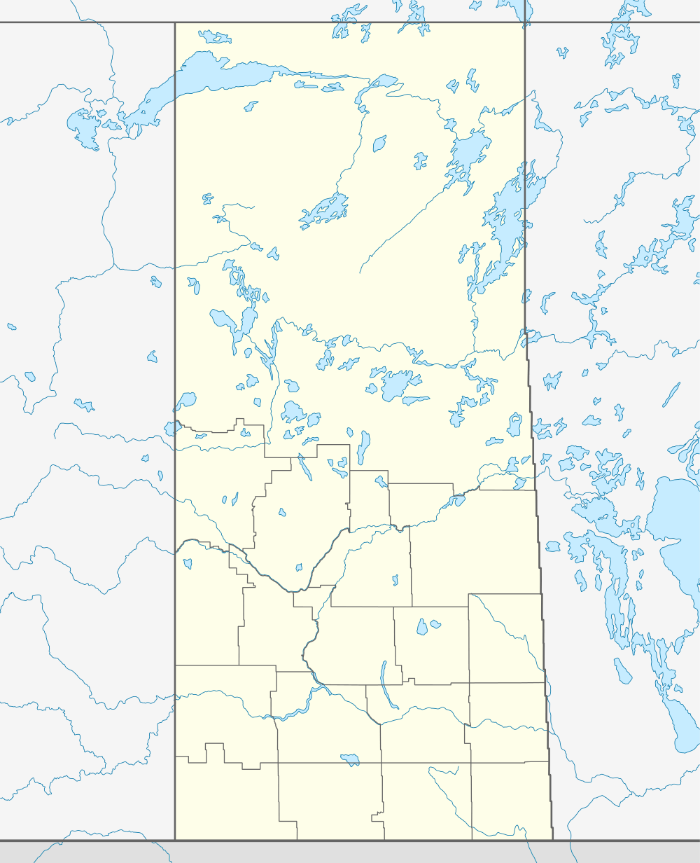 Choiceland Location of Choiceland in Saskatchewan | |
| Coordinates: 53°29′24″N 104°29′10″W / 53.49°N 104.486°W | |
| Country | Canada |
| Province | Saskatchewan |
| Region | Saskatchewan |
| Rural Municipality | No. 488 |
| Post office established | 1927 |
| Government | |
| • Mayor | Robert Mardell |
| • Administrator | Holly Toews |
| Area | |
| • Land | 1.12 km2 (0.43 sq mi) |
| Population (2011) | |
| • Total | 381 |
| • Density | 340.8/km2 (883/sq mi) |
| Time zone | CST |
| Postal code | S0J 0M0 |
| Area code(s) | 306 |
| Website | Choiceland, Saskatchewan |
| [1][2][3] | |
Choiceland is a town located in Saskatchewan, Canada. Choiceland is located an hour or so from Prince Albert, a larger Saskatchewan city.
Although small in size, Choiceland is home to William Mason Public School, which offers schooling for grades kindergarten through twelve. The Torch River Railway is based in Choiceland.
Demographics
| |||||||||||||||||||
Climate
| Climate data for Choiceland | |||||||||||||
|---|---|---|---|---|---|---|---|---|---|---|---|---|---|
| Month | Jan | Feb | Mar | Apr | May | Jun | Jul | Aug | Sep | Oct | Nov | Dec | Year |
| Record high °C (°F) | 9 (48) |
9.5 (49.1) |
16.5 (61.7) |
31.7 (89.1) |
35 (95) |
37 (99) |
36.1 (97) |
36.1 (97) |
35 (95) |
28.3 (82.9) |
20.6 (69.1) |
8.3 (46.9) |
37 (99) |
| Average high °C (°F) | −13.6 (7.5) |
−9.4 (15.1) |
−1.5 (29.3) |
8.6 (47.5) |
18.2 (64.8) |
22 (72) |
24.1 (75.4) |
22.8 (73) |
16.4 (61.5) |
8.7 (47.7) |
−4.2 (24.4) |
−11.9 (10.6) |
6.7 (44.1) |
| Daily mean °C (°F) | −18.7 (−1.7) |
−14.9 (5.2) |
−7.4 (18.7) |
2.7 (36.9) |
11.2 (52.2) |
15.2 (59.4) |
17.4 (63.3) |
16 (61) |
10 (50) |
3.4 (38.1) |
−8.4 (16.9) |
−16.6 (2.1) |
0.8 (33.4) |
| Average low °C (°F) | −23.7 (−10.7) |
−20.5 (−4.9) |
−13.3 (8.1) |
−3.3 (26.1) |
4.2 (39.6) |
8.3 (46.9) |
10.7 (51.3) |
9.2 (48.6) |
3.6 (38.5) |
−2 (28) |
−12.6 (9.3) |
−21.4 (−6.5) |
−5.1 (22.8) |
| Record low °C (°F) | −47.8 (−54) |
−45 (−49) |
−39.4 (−38.9) |
−33.9 (−29) |
−11.1 (12) |
−3.3 (26.1) |
0 (32) |
−3 (27) |
−11.1 (12) |
−25 (−13) |
−37.8 (−36) |
−43 (−45) |
−47.8 (−54) |
| Average precipitation mm (inches) | 19.7 (0.776) |
18.6 (0.732) |
20.1 (0.791) |
26.7 (1.051) |
46.9 (1.846) |
82.3 (3.24) |
78.2 (3.079) |
65.2 (2.567) |
52 (2.05) |
28.1 (1.106) |
22.9 (0.902) |
23.2 (0.913) |
483.7 (19.043) |
| Source: Environment Canada[7] | |||||||||||||
See also
References
- ↑ "2011 Community Profiles". Statistics Canada. Government of Canada. Retrieved 2014-03-20.
- ↑ National Archives, Archivia Net. "Post Offices and Postmasters". Retrieved 2014-03-20.
- ↑ Government of Saskatchewan, MRD Home. "Municipal Directory System". Retrieved 2014-03-20.
- ↑ "2011 Community Profiles". Canada 2011 Census. Statistics Canada. July 5, 2013. Retrieved 7 July 2012.
- ↑ "2006 Community Profiles". Canada 2006 Census. Statistics Canada. March 30, 2011. Retrieved 14 August 2011.
- ↑ "2001 Community Profiles". Canada 2001 Census. Statistics Canada. February 17, 2012. Retrieved 14 August 2011.
- ↑ Environment Canada Canadian Climate Normals 1971–2000, accessed 24 July 2010
External links
 |
| |||
| Snowden, Smeaton | |
Garrick | ||
| ||||
| | ||||
| Gronlid |