Chapada de Areia
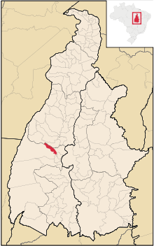
Map locator of Tocantins's Chapada de Areia city.
Coordinates: 10°08′38″S 49°08′24″W / 10.14389°S 49.14000°W Chapada de Areia is a municipality located in the Brazilian state of Tocantins. Its population was 1,197 (2005) and its area is 659 km².[1]
References
This article is issued from Wikipedia - version of the Saturday, March 16, 2013. The text is available under the Creative Commons Attribution/Share Alike but additional terms may apply for the media files.