Banapura
| Banapura Seoni Malwa | |
|---|---|
| city | |
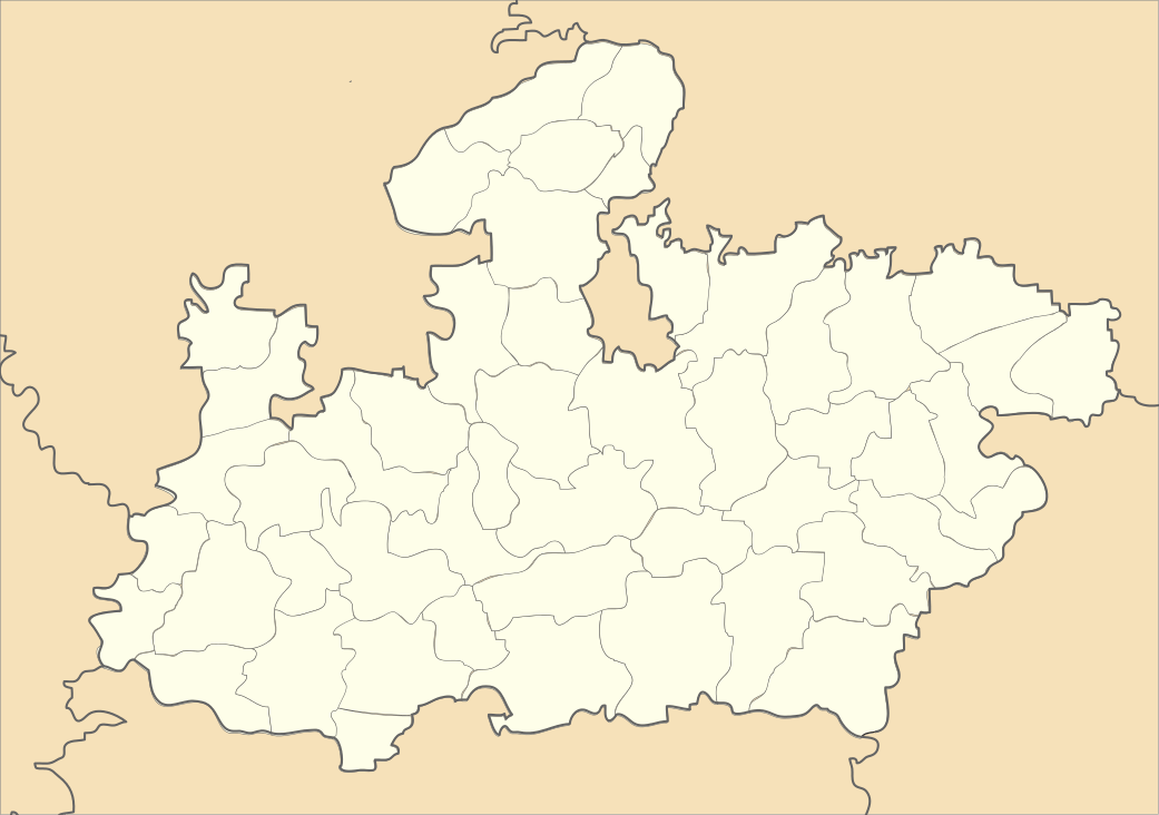
 Banapura Location in Madhya Pradesh, India | |
| Coordinates: 22°28′55″N 77°28′30″E / 22.48194°N 77.47500°ECoordinates: 22°28′55″N 77°28′30″E / 22.48194°N 77.47500°E | |
| Country |
|
| State | Madhya Pradesh |
| District | Hoshangabad District |
| Talukas | Banapura |
| Languages | |
| • Official | Hindi |
| • Other | Hindi, English, and Bhuani |
| Time zone | IST (UTC+5:30) |
| PIN | 461221 |
| Telephone code | 917570 |
| Vehicle registration | MP-05 |
| Nearest city | Hoshangabad |
| Website |
hoshangabad |
Banapura is a small town in the Hoshangabad District of Madhya Pradesh, India. Banapura is a twin [or sister] city of Seoni Malwa.
Banapura has culturally been a rich part of malwa. It mainly consisted of Gound and Bheel tribes. Most part of the constituency is agriculture land. By grace of Narmada river and Tava Daam Tawa Reservoir, almost 60–70% land have adequate water supply other than monsoon-based rains. Banapura is known for highest production of wheat and soybeans across the globe. Some of the finest quality of wheat on can be found at Banapura.
The city during British time was administrated by Thakur family and post independence became a part of Central Constituency. During the Indian independence movement, Lt Chetram Pathak was a very famous name in the locality. Chetram Pathak was known for his activities and movements like rail roko, jail bahro andolans. He was a selfless leader. After establishment of Madhya Pradesh as a state, Banapura became a part of the Hoshanbabad district. Lifestyle of people here is very simple .
Major attractions are Narmada River, Satpuda Hill Range, Babari Ghat, Aawali Ghat, Bheelat Baba Temple, Kheda, Narmada Mandir, Do Mori pool, Do Peepal Baba Temple, Railway Naka, Baazar, Railway Station, Soy Bean Plant, Mandi, Badi Nahar, College, Seoni Taalab.
As of 2001 India census,[1] Seoni Malwa had a population of 26,195. Males constitute 52% of the population and females 48%. Seoni Malwa has an average literacy rate of 74%, higher than the national average of 59.5%: male literacy is 81%, and female literacy is 67%. In Seoni Malwa, 13% of the population is under 6 years of age.
Schools
- Kendriya Vidhyalaya [Central School]
- Government H S School
- Girls' School
- Nalanda H S School
- Bethel H S School
- Jeeva Jyoti School
- Narmada Vally School
College
- Govn Kusum Maha Vidhyalaya Cources : Bsc, BA, BCom.
Temples
- Namada Mandir
- Bheelat Baba
- Salakanpur . Approv 30 km via Babri ghat.
Rivers
- "Narmada"
- "Kandeli"
- Tawa Reservoir
Bridges
- Kandeli
Ghat or River Banks
- Babri Ghat
- Aawali Ghat
- Sethani Ghat
Banks
- State bank
- State bank AGB
- Central bank
- Punjab bank
- ICIC bank
- HDFC bank
- Rural Dev bank
- Society bank
Hospital (s)
- Shanti Nursing Home Facilities : XRay, Ultrasonography, General Physician, Maternity.
- Government Hospital
Places
- Seoni Taalab
- Bazaar
- Policy Station
- Tahseel Office
- Court
- Municipal office
- Post Office
Near by
How to Reach
By Bus : Banapura and Seoni Malawa both are well connected with Bhopal, Indore, Itarsi, Hoshangabad, Pachmarhi, Harda, Timarni, Shiopur and Khandwa via private and government bus services. These buses run from 5:00 AM morning till late at night. The last bus reaches Banapura at approximately 1:30 or 1:00 AM in night.
- National Highway 12 (India) is approx 60 KM from Banapura and passes through Obedullaganj
- National Highway 69 (India) is 35 KM from Banapura via Hoshangabad.
- National Highway 59A (India)is 30 KM from Banapura and is 20 KM from Banapura and passes through Timarni and Harda.
- State Highway no MP SH 15 passes through Banapura.
- Distance between Bhopal and Banapura is approximately 120 KM by road via Hoshangabad.
- Distance between Hoshangabad and Banapura is approximately 40 KM by road via Bheelat Baba.
- Distance between Itarsi and Banapura is approximately 25 KM by road via Hathinapur- Dharam Kundi.
- Distance between Indore and Banapura is approximately 180 KM by road via Harda.
- Distance between Harda and Banapura is approximately 40 KM by road via Timarni.
- Distance between Harda and Banapura is approximately 55 KM by road via Shiopur.
Via Itrasi: Distance Between Banapura to Itarsi is 17 KM(kilometers) and 389.66 meters. Banapura is located nearly north side to Itarsi. By Bus :There are direct bus for Banapura on a regular frequency operated by local private bus agencies. You can By Taxi You can also hire locat taxi and cab to reach Banapura available through various local zeep and taxi operatores. By Train You can reach Itrasi and then can reach by train.
By Train Banapura railway station: Banapura is well connected with Bombay, Delhi, Bhopal and Jabalpur via broad gauge train route. Railways station is located at Banapura. This is a station to reach Seoni Malwa also.
References
- ↑ "Census of India 2001: Data from the 2001 Census, including cities, villages and towns (Provisional)". Census Commission of India. Archived from the original on 2004-06-16. Retrieved 2008-11-01.
| ||||||||||||||||||||||