Badnawar
| Badnawar Badnawar vardhamanpur | |
|---|---|
| Town | |
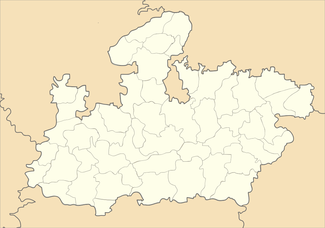
 Badnawar Location in Madhya Pradesh, India | |
| Coordinates: 23°01′N 75°13′E / 23.02°N 75.22°ECoordinates: 23°01′N 75°13′E / 23.02°N 75.22°E | |
| Country |
|
| State | Madhya Pradesh |
| District | Dhar |
| Elevation | 506 m (1,660 ft) |
| Population (2011) | |
| • Total | 20,928 |
| Languages | |
| • Official | Hindi |
| Time zone | IST (UTC+5:30) |
| PIN | 454660 |
| Telephone code | 07295 |
| Vehicle registration | MP 11 XX XXXX |
| Website |
{{URL|example.com|optional display text}} |
Badnawar is a town and a Nagar Panchayat of the Dhar district in the state of Madhya Pradesh, India. Badnawar name is originated from Buddha Nagar, which was given on the name Gautama Buddha.
Geography
Badnawar is located at 23°01′N 75°13′E / 23.02°N 75.22°E.[1] It has an average elevation of 506 metres (1660 feet).
Demographics
As of 2011 India census,[2] Badnawar has a population of 20,928. Males constitute 52.03% of the population and the females 47.97%. Badnawar has an literacy rate of 81.3%, with 88.7% of the males and 41% of females literate.
Religious places
Shri Chintaman Ganesh Temple
Ekveera Mata Temple
Shiv Temple (Udiya Mandir)
Kalika Mata Temple
(bhoyra wala aadinath) jain tample.
Dawoodi Bohra Masjid
References
- ↑ Falling Rain Genomics, Inc - Badnawar
- ↑ "Census of India 2001: Data from the 2001 Census, including cities, villages and towns (Provisional)". Census Commission of India. Archived from the original on 2004-06-16. Retrieved 2008-11-01.
This article is issued from Wikipedia - version of the Tuesday, January 05, 2016. The text is available under the Creative Commons Attribution/Share Alike but additional terms may apply for the media files.