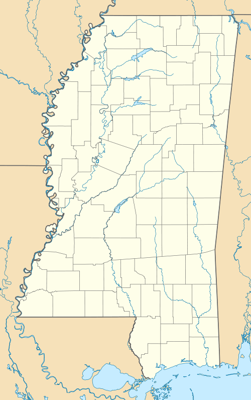
Arkabutla, Mississippi
| Arkabutla, Mississippi | |
|---|---|
| Unincorporated community | |
 Arkabutla, Mississippi | |
| Coordinates: 34°41′56″N 90°07′20″W / 34.69889°N 90.12222°WCoordinates: 34°41′56″N 90°07′20″W / 34.69889°N 90.12222°W | |
| Country | United States |
| State | Mississippi |
| County | Tate |
| Elevation | 190 ft (60 m) |
| Time zone | Central (CST) (UTC-6) |
| • Summer (DST) | CDT (UTC-5) |
| ZIP code | 38602 |
| Area code(s) | 662 |
| GNIS feature ID | 692212[1] |
Arkabutla is an unincorporated community in Tate County, Mississippi. Arkabutla is approximately 9 miles (14 km) west of Coldwater and approximately 8 miles (13 km) northeast of Savage near the southern starting point of Mississippi Highway 301 on Arkabutla Road. It lies approximately two miles from the southern side of Arkabutla Lake and Dam. Although an unincorporated community, it has a post office and a zip code of 38602.
Notable people
- James Earl Jones was born in Arkabutla.
References
| |||||||||||||||||||||
This article is issued from Wikipedia - version of the Tuesday, October 06, 2015. The text is available under the Creative Commons Attribution/Share Alike but additional terms may apply for the media files.


