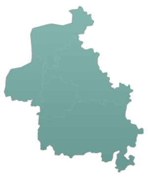
Al-Dana, Syria
| al-Dana الدانا | |
|---|---|
| Town | |
 al-Dana | |
| Coordinates: 36°12′52″N 36°46′11″E / 36.21444°N 36.76972°E | |
| Country |
|
| Governorate | Idlib |
| District | Harem |
| Subdistrict | Al-Dana |
| Elevation | 428 m (1,404 ft) |
| Population (2004 census)[1] | |
| • Total | 14,208 |
| Time zone | EET (UTC+2) |
| • Summer (DST) | EEST (UTC+3) |
Al-Dana (Arabic: الدانا) is a town in northern Syria, administratively part of the Idlib Governorate, located north of Idlib, 38 kilometers west of Aleppo,[2] and just east of the border with Turkey. Nearby localities include Sarmada to the southwest, Tell al-Karamah to the south, Atarib to the southeast, Turmanin to the northeast, Salwah to the north and Qah to the northwest. According to the Syria Central Bureau of Statistics, al-Dana had a population of 14,208 in the 2004 census.[1] The town is also the administrative center of the al-Dana nahiyah consisting of thirteen villages with a combined population of 60,058.[1] Al-Dana was notable for its indigo dye industry which has since disappeared.[3]
History

Al-Dana has been identified with the Aramaean city of "Adennu" or "Adinnu."[2][4] Adennu was the first Aramaean city conquered by the Assyrians during Shalmaneser III's military campaign against Syria in 853 BCE.[2] The city was captured without resistance.[4]
As part of the so-called Dead Cities, al-Dana, and its vicinity contain numerous ancient ruins which date back to the 3rd and 4th-century CE. A well-preserved Roman pyramid tomb, made of yellow stone and bearing elaborate carvings, is located to the north of the modern town center.[5] A Roman gateway and the porticoes of a several other Roman-era edifices also survive.[6]
In the late 11th-century CE, al-Dana and nearby Sarmada were sacked by the Crusaders.[7] The 13th-century Syrian geographer Yaqut al-Hamawi visited al-Dana in the 1220s, noting that it was located on the slopes of Mount Lebanon near Aleppo in the al-'Awasim area. He described the village as a "very ancient place" near which was a "large platform, as wide as a horse-racing course, cut in the hillside, square and leveled. At its center is a dome, within which is a tomb, as one of the ancient Adites, but of whom it is not known."[8]
In the mid-19th-century al-Dana was visited by English traveler James Silk Buckingham who noted that the village was built along the slopes of a rock in the center of a plain. Most of its houses were built from the ruins of older structures, suggesting to Buckingham that al-Dana had previously been a considerable settlement.[6] Around 500 Muslims lived in the village and worshiped in a small mosque, with a minaret and six domes arranged in two separate rows corresponding with each interior aisle.[9]
References
Notes
- 1 2 3 General Census of Population and Housing 2004. Syria Central Bureau of Statistics (CBS). Idlib Governorate. (Arabic)
- 1 2 3 Lipinsky, p. 259.
- ↑ Balfour-Paul, 2012, p. 99.
- 1 2 Yamada, p. 154.
- ↑ Darke, 2010, p. 160.
- 1 2 Buckingham, p. 573.
- ↑ Davis, p. 334.
- ↑ le Strange, 1890, p. 436.
- ↑ Buckingham, p. 574.
Bibliography
- Balfour-Paul, Jenny (2012). Indigo in the Arab World By. Routledge. ISBN 9780700703739.
- Buckingham, James Silk (1825). Travels among the Arab tribes inhabiting the countries east of Syria and Palestine. Printed for Longman, Hurst, Rees, Orme, Brown, and Green.
- Darke, Diana (2010). Syria, 2nd. Bradt Travel Guides. ISBN 9781841623146.
- Davis, William Stearns (2007). God Wills It! – a Tale of the First Crusade. Wildside Press LLC. ISBN 1434482480.
- Lipinsky, Edward (2000). The Aramaeans: Their Ancient History, Culture, Religion. Peeters Publishers. ISBN 9042908599.
- le Strange, Guy (1890). Palestine Under the Moslems: A Description of Syria and the Holy Land from A.D. 650 to 1500. Committee of the Palestine Exploration Fund.
- Yamada, Shigeo (2000). The Construction of the Assyrian Empire: A Historical Study of the Inscriptions of Shalmanesar III Relating to His Campaigns in the West. BRILL. ISBN 9004117725.
