Zurbano
| Zurbano Zurbano (Spanish) Zurbao (Basque) | |
|---|---|
| Village | |
 | |
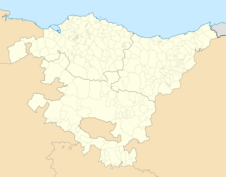 Zurbano Location of Zurbano within the Basque Country | |
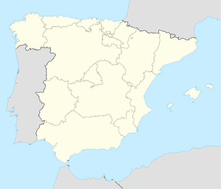 Zurbano Location of Zurbano within Spain | |
| Coordinates: 42°52′N 2°37′W / 42.867°N 2.617°WCoordinates: 42°52′N 2°37′W / 42.867°N 2.617°W | |
| Country |
|
| Autonomous community |
|
| Province | Álava |
| Comarca | Vitoria-Gasteiz |
| Municipality | Arrazua-Ubarrundia |
| Elevation | 532 m (1,745 ft) |
| Population (2002) | |
| • Total | 153 |
| Time zone | CET (UTC+1) |
| • Summer (DST) | CEST (UTC+2) |
| Official language(s) | Spanish, Basque |
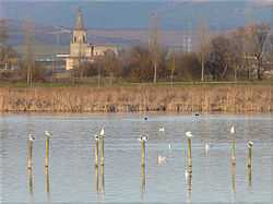
Zurbano (Basque: Zurbao) is a village in the municipality of Arrazua-Ubarrundia, Álava, Basque Country, Spain. It lies on the northeastern rural outskirts of Vitoria-Gasteiz, 6.5 km from the centre. As of 2002 it had a population of 153.
Notable landmarks
It contains a collection of palace-houses dating from the seventeenth and eighteenth centuries that once belonged to prominent families such as Basterra, Isunza Otalora or Iriarte. Among these the most notable is the Palacio Rural Zurbano,[1] which is a declared monument. Other people's palaces are the Palacio Otalora-Guevara, the Ortiz de Zárate and the Casa palacio de Otazu . The church of St. Stephen dates from the fifteenth century.
Economy
Cereal farming is the traditional local economic activity. There is a bar-restaurant in Zurbano. Celebrations are held the first weekend of September in honor of San Esteban.
References
| Wikimedia Commons has media related to Zurbano. |
- ↑ Aguilo, María Paz (1976). Bibliografía del arte en España. CSIC. p. 158. ISBN 978-84-00-03626-3. Retrieved 24 August 2011.