Zhongshan District, Dalian
| Zhongshan 中山区 | |||||||||||||||||||||||||||||||
|---|---|---|---|---|---|---|---|---|---|---|---|---|---|---|---|---|---|---|---|---|---|---|---|---|---|---|---|---|---|---|---|
| District | |||||||||||||||||||||||||||||||
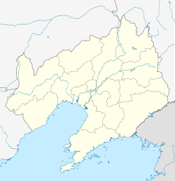 Zhongshan Location in Liaoning | |||||||||||||||||||||||||||||||
| Coordinates: 38°55′00″N 121°39′05″E / 38.9168°N 121.6515°ECoordinates: 38°55′00″N 121°39′05″E / 38.9168°N 121.6515°E[1] | |||||||||||||||||||||||||||||||
| Country |
| ||||||||||||||||||||||||||||||
| Province | Liaoning | ||||||||||||||||||||||||||||||
| Sub-provincial city | Dalian | ||||||||||||||||||||||||||||||
| Area[2] | |||||||||||||||||||||||||||||||
| • Total | 40.10 km2 (15.48 sq mi) | ||||||||||||||||||||||||||||||
| Population (2010)[3] | |||||||||||||||||||||||||||||||
| • Total | 339,527 | ||||||||||||||||||||||||||||||
| • Density | 8,500/km2 (22,000/sq mi) | ||||||||||||||||||||||||||||||
| Time zone | China Standard (UTC+8) | ||||||||||||||||||||||||||||||
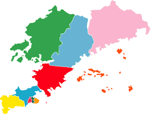
| Dalian district map | |||||||||||||||||||||||||||||||
| |||||||||||||||||||||||||||||||
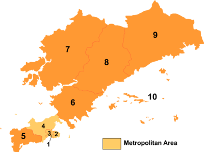
Zhongshan District (simplified Chinese: 中山区; traditional Chinese: 中山區; pinyin: Zhōngshān Qū) is one of six districts of Dalian, Liaoning province, People's Republic of China, forming part of the urban core. Its area is 40.10 square kilometres (15.48 sq mi) and its permanent population as of 2010 is 339,527.[2][3]
Administrative divisions
There are 8 subdistricts within the district.[4]
Subdistricts:
- Navy Square Subdistrict (海军广场街道), People's Road Subdistrict (人民路街道), Guilin Subdistrict (桂林街道), Qingni Subdistrict (青泥街道), Hutan Subdistrict (虎滩街道), Kuiying Subdistrict (葵英街道), Kunming Subdistrict (昆明街道), Taoyuan Subdistrict (桃源街道)
Education
International schools include:
References
- ↑ Google (2014-07-02). "Zhongshan". Google Maps. Google. Retrieved 2014-07-02.
- ↑ 2.0 2.1 Dalian Statistical Yearbook 2012 (《大连统计年鉴2012》). Accessed 8 July 2014.
- ↑ 3.0 3.1 2010 Census county-by-county statistics (《中国2010年人口普查分县资料》). Accessed 8 July 2014.
- ↑ 大连市-行政区划网
- ↑ "学校紹介." Japanese School of Dalian. Retrieved on January 14, 2015. "所在地 大連市中山区濱海中路123号"
External links
![]() Dalian/Zhongshan travel guide from Wikivoyage
Dalian/Zhongshan travel guide from Wikivoyage
| ||||||||||||||||||||||||||||||||||||||||||||||||||||||||||||||||||||||
| |||||||||||||||||||||||||||||||||||||