Zalingei Airport
| Zalingei Airport | |||||||||||
|---|---|---|---|---|---|---|---|---|---|---|---|
| IATA: ZLX – ICAO: HSZA | |||||||||||
| Summary | |||||||||||
| Serves | Zalingei, Central Darfur, Sudan | ||||||||||
| Location |
| ||||||||||
| Coordinates | 12°56′40″N 023°33′47″E / 12.94444°N 23.56306°ECoordinates: 12°56′40″N 023°33′47″E / 12.94444°N 23.56306°E | ||||||||||
| Map | |||||||||||
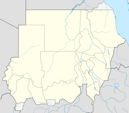
 ZLX Location of the airport in Sudan | |||||||||||
| Runways | |||||||||||
| |||||||||||
Zalingei Airport (IATA: ZLX, ICAO: HSZA) is an airport serving the city of Zalingei in the Central Darfur region of Sudan.
History
The airport had a Dirt surface and was located on the northeast part of the city. A new airport has been rebuilt a little bit farther, approximately 10 kilometres (6.2 mi) at the east of the city. That new airport has open in June 2013 and has got a longer runway, i.e., 1,600 metres (5,200 ft) instead of 1,180 metres (3,870 ft).
Accidents and incidents
- On 11 November 2010, an Antonov An-24 of Tarco Airlines on a flight from Khartoum International Airport via Nyala Airport at Nyala crashed on landing at Zalingei Airport, Sudan. One passenger was killed. One person received serious injuries and another five escaped with minor injuries The remaining 32 passengers and five crew escaped injury.[3]
References
- ↑ Airport information for ZLX at Great Circle Mapper.
- ↑ Airport information for Zalingei Airport at Search (for) Travel website.
- ↑ Hradecky, Simon. "Accident: Tarco Airlines AN24 at Zalingei on Nov 11th 2010, burst tyres on landing, broke up and burst into flames". Aviation Herald. Retrieved 12 November 2010.