Yuraq Apachita (Lampa)
| Yuraq Apachita | |
|---|---|
 Yuraq Apachita Peru | |
| Elevation | 4,423.9 m (14,514 ft)[1] |
| Location | |
| Location | Peru, Puno Region, Lampa Province |
| Range | Andes |
| Coordinates | 15°4′4″S 70°27′47″W / 15.06778°S 70.46306°WCoordinates: 15°4′4″S 70°27′47″W / 15.06778°S 70.46306°W |
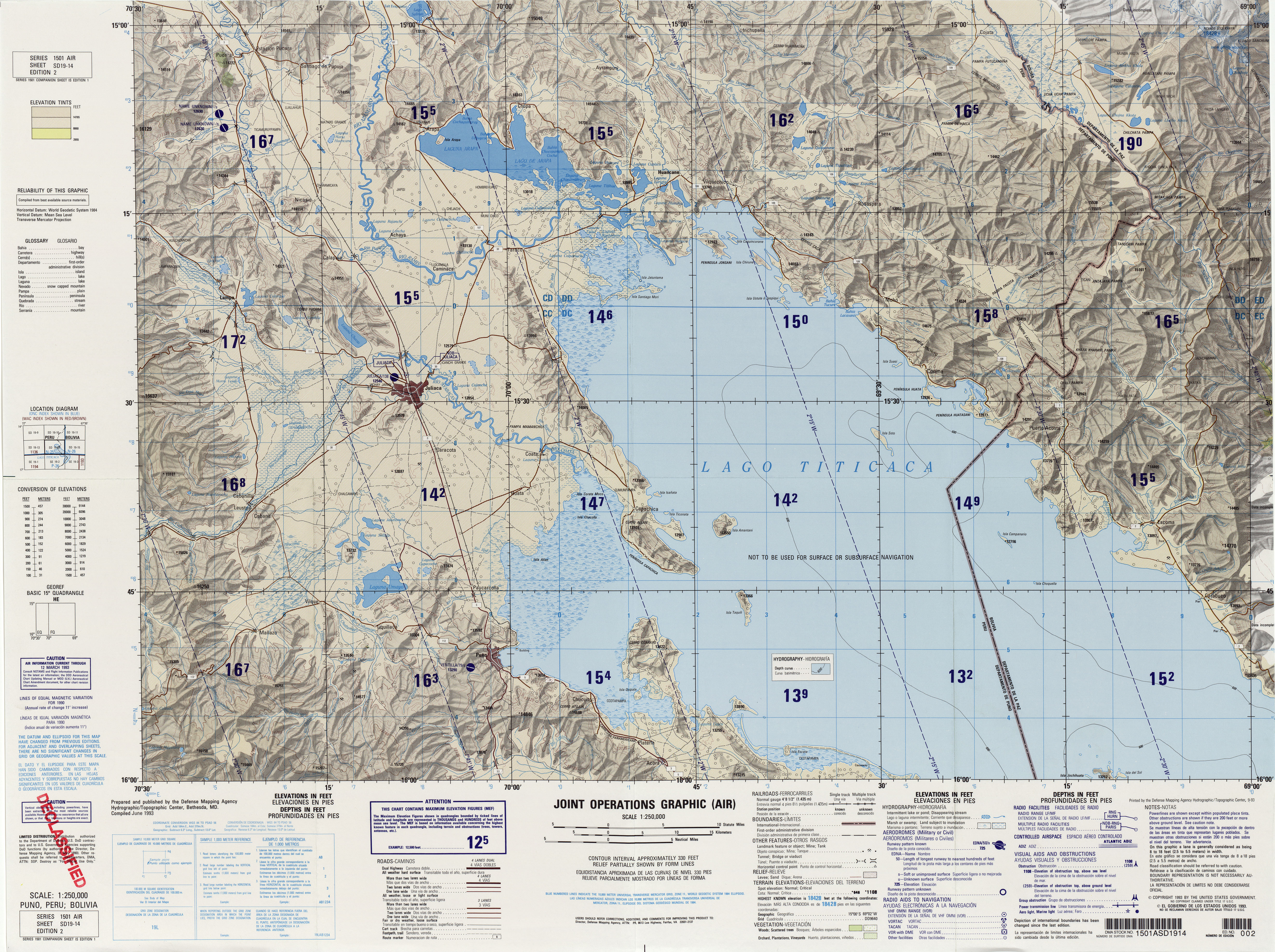
Yuraq Apachita (Quechua yuraq white, Aymara apachita the place of transit of an important pass in the principal routes of the Andes; name in the Andes for a stone cairn, a little pile of rocks built along the trail in the high mountains,[2][3] hispanicized spelling Yuracapacheta) is a mountain in the Andes of Peru, about 4,423.9 metres (14,514 ft) high. It is situated in the Puno Region, Lampa Province, Pucará District, southwest of Pucará.[4]
References
- ↑ "South America Maps". Joint Operations Graphic. Retrieved July 3, 2014.
- ↑ Teofilo Laime Ajacopa, Diccionario Bilingüe Iskay simipi yuyayk'ancha, La Paz, 2007 (Quechua-Spanish dictionary)
- ↑ Radio San Gabriel, "Instituto Radiofonico de Promoción Aymara" (IRPA) 1993, Republicado por Instituto de las Lenguas y Literaturas Andinas-Amazónicas (ILLLA-A) 2011, Transcripción del Vocabulario de la Lengua Aymara, P. Ludovico Bertonio 1612 (Spanish-Aymara-Aymara-Spanish dictionary)
- ↑ escale.minedu.gob.pe - UGEL map of the Lampa Province (Puno Region)