Yuba Pass, California
This article is about the settlement in Nevada County. For the mountain pass in Sierra County, see Yuba Pass, California (landform).
| Yuba Pass | |
|---|---|
| Unincorporated community | |
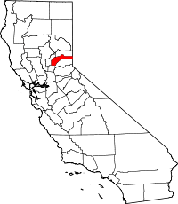
 Yuba Pass Location in California | |
| Coordinates: 39°19′23″N 120°36′01″W / 39.32306°N 120.60028°WCoordinates: 39°19′23″N 120°36′01″W / 39.32306°N 120.60028°W | |
| Country |
|
| State |
|
| County | Nevada County |
| Elevation[1] | 5,636 ft (1,718 m) |
Yuba Pass is an unincorporated community in Nevada County, California.[1] Yuba Pass is located on the former Southern Pacific Railroad (now part of the Union Pacific Railroad), 1 mile (1.6 km) east-northeast of Yuba Gap.[2] It lies at an elevation of 5636 feet (1718 m).[1]
This Yuba Pass should not be confused with the completely unrelated mountain pass of the same name on California State Route 49 in Sierra County.