Yappar River
| Yappar | |
| River | |
| Country | Australia |
|---|---|
| State | Queensland |
| Region | Far North Queensland |
| District | Shire of Croydon |
| Tributaries | |
| - right | Esmeralda Creek |
| Source | |
| - location | Esmeralda, Qld |
| - elevation | 391 m (1,283 ft) |
| - coordinates | 19°2′0″S 143°2′41″E / 19.03333°S 143.04472°E |
| Mouth | Norman River |
| - location | Claraville, Qld |
| - elevation | 17 m (56 ft) |
| - coordinates | 18°17′48″S 141°13′8″E / 18.29667°S 141.21889°ECoordinates: 18°17′48″S 141°13′8″E / 18.29667°S 141.21889°E |
| Length | 290 km (180 mi) |
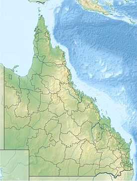 Location of river mouth in Queensland
| |
The Yappar River is a river in the Shire of Croydon local government area of Far North Queensland, Australia.
It rises at Esmeralda in the Gregory Range, in an area of ephemeral watercourses and stony sandstone ridges lightly vegetated with Eucalyptus miniata, acacia and spinifex on the ridge tops. Further down from the ridges areas of paperbark are found.[1]
The river flows in a north westerly direction through Esmeralda Station, floodplain and savannah county, almost parallel with the Clara River, through the channel country until it reaches Yappar Station where it discharges into the Norman River of which it is a tributary at the western boundary of Claraville.
The Yappar has seven tributaries including Esmeralda, Bommerane, Bulhole and Boundary Creeks.[2]
See also
- List of rivers in Australia
References
- ↑ "19°S 143°E Gregory Range – Queensland by Degrees". Royal Geographical Society of Queensland. 2012. Retrieved 12 October 2014.
- ↑ "Map of Yappar River, Qld". Bonzle Digital Atlas. 2014. Retrieved 12 October 2014.
| ||||||||||||||||||||||||||||||||||||||||||||||||||||||||