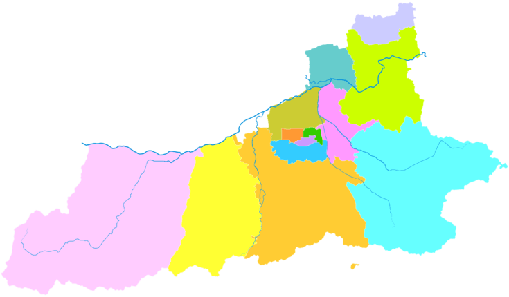
Yanta District
Yanta District (simplified Chinese: 雁塔区; traditional Chinese: 雁塔區; pinyin: Yàntǎ Qū) is one of nine districts of Xi'an, the capital of Shaanxi province, China. The district borders the districts of Weiyang to the north, Lianhu, Beilin and Xincheng to the northeast, and Chang'an to the south.
Education
International schools in the district include:
References
- ↑ Google (2014-07-02). "Yanta" (Map). Google Maps. Google. Retrieved 2014-07-02.
- ↑ "西安市2010年第六次全国人口普查主要数据公报" (in (Chinese)). Xi'an Evening News (西安晚报). 25 May 2011. Retrieved 3 July 2014.
- ↑ "Contact Us." Xi'an International School. Retrieved on April 27, 2015. "Yan Ta Qu Zi Wu Da Dao Bei Duan #5 Xi'an, Shaanxi 710065"
- ↑ Home page. Xi'an Hanova International School. Retrieved on April 28, 2015. "Address: 188 Yudou Road, Yanta District Xi'an, Shaanxi Province, China 学校地址:西安市雁塔区鱼化寨鱼斗路188号"
External links
|
|---|
| | Districts | | |
|---|
| | Counties | |
|---|
| | Landmarks | |
|---|
| | Culture & demographics | |
|---|
| | Education | |
|---|
| | Transport | |
|---|
|

