Wungong, Western Australia
| Wungong Perth, Western Australia | |||||||||||||
|---|---|---|---|---|---|---|---|---|---|---|---|---|---|
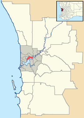 Wungong Location in metropolitan Perth | |||||||||||||
| Coordinates | 32°10′55″S 116°00′43″E / 32.182°S 116.012°ECoordinates: 32°10′55″S 116°00′43″E / 32.182°S 116.012°E | ||||||||||||
| Population | 229 (2011 census)[1] | ||||||||||||
| • Density | 53.3/km2 (137.9/sq mi) | ||||||||||||
| Postcode(s) | 6112 | ||||||||||||
| Area | 4.3 km2 (1.7 sq mi) | ||||||||||||
| Location | |||||||||||||
| LGA(s) | City of Armadale | ||||||||||||
| State electorate(s) | Armadale | ||||||||||||
| Federal Division(s) | Canning | ||||||||||||
| |||||||||||||
Wungong (archaic spelling Wongong, both pronounced Woongong) is a semi-rural south-eastern suburb of Perth, Western Australia, located midway between Armadale and Byford and under the administration of the City of Armadale.
The name derives from that of a government townsite on the Perth-Bunbury [railway] line, proclaimed on 12 March 1909 and named after the nearby Wungong Brook. The course of this brook was first traced by Alfred Hillman in January 1835.[2]
A farm established in the nineteenth-century was named Wongong,[3] as were the brook itself and a church mission, indicating extensive use of the earlier variant spelling.
A wildlife sanctuary named 'The Armadale Reptile Park' was opened in Wungong in 1995 by the Gaikhorst family and has the largest public reptile and amphibian display in Western Australia along with dingoes,flying foxes,farm animals marsupials and birds.[4]
References
- ↑ Australian Bureau of Statistics (31 October 2012). "Wungong (State Suburb)". 2011 Census QuickStats. Retrieved 16 February 2014.
- ↑ History of metropolitan suburb names in Landgate (Western Australian government agency)
- ↑ Material in City of Armadale Libraries
- ↑