Woodvale, Western Australia
| Woodvale Perth, Western Australia | |||||||||||||
|---|---|---|---|---|---|---|---|---|---|---|---|---|---|
|
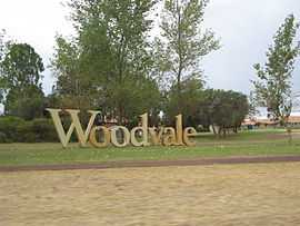
Woodvale estate sign | |||||||||||||
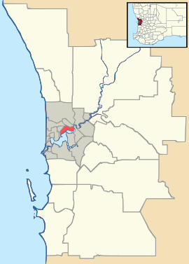 Woodvale | |||||||||||||
| Coordinates | 31°47′56″S 115°47′02″E / 31.799°S 115.784°ECoordinates: 31°47′56″S 115°47′02″E / 31.799°S 115.784°E | ||||||||||||
| Population | 9,202 (2011 census)[1] | ||||||||||||
| Established | 1970s | ||||||||||||
| Postcode(s) | 6026 | ||||||||||||
| Location | 19 km (12 mi) N of Perth CBD | ||||||||||||
| LGA(s) | City of Joondalup | ||||||||||||
| State electorate(s) | Kingsley | ||||||||||||
| Federal Division(s) | Cowan | ||||||||||||
| |||||||||||||
Woodvale is a suburb of Perth, Western Australia, located within the City of Joondalup and the City of Wanneroo. Its postcode is 6026.
Woodvale is bounded to the south by Whitfords Avenue, to the west by the Mitchell Freeway, to the north by Ocean Reef Road and to the east by Wanneroo Road. Rural properties were released from the late 1920s adjacent to Wanneroo Road, but the main suburb development started in 1979 and was completed by 1995 with the release of Woodvale Waters.
Woodvale is an oddity as, while most of the suburb lies within the City of Joondalup LGA, a small portion of eastern Woodvale is administered by the adjacent City of Wanneroo.
Many British expats live in Woodvale and there is also an English style pub the "Woodvale Tavern" along Trappers Drive.
Education
Woodvale contains one secondary college, Woodvale Secondary College, which opened in 1985, and three primary schools, Woodvale (1987) and North Woodvale (1990) as well as St. Lukes Catholic primary school (1986).
Landmarks
Woodvale includes two shopping centres - "The Boulevard" and Woodvale Shopping Centre which is located next to North Woodvale Primary School. There is a library, two doctors surgeries, an elderly village and a large nature reserve called Yellagonga is located on the eastern border, parallel to Duffy Terrace and Wanneroo Road, with Woodvale Waters also backing on to the reserve.
References
- ↑ Australian Bureau of Statistics (31 October 2012). "State Suburbs: Woodvale". 2011 Census QuickStats. Retrieved 4 July 2012.
| ||||||||||||||
| |||||||||||||||||||||
