Woodstock, Victoria
| Woodstock Victoria | |||||||||||||
|---|---|---|---|---|---|---|---|---|---|---|---|---|---|
|
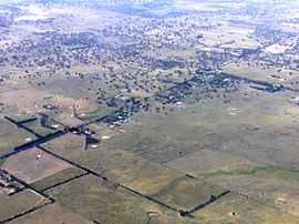
Merriang Road area of Woodstock, from the north-west | |||||||||||||
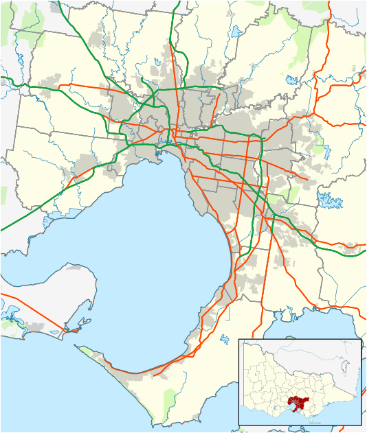 Woodstock Location in metropolitan Melbourne | |||||||||||||
| Coordinates | 37°32′38″S 145°03′22″E / 37.544°S 145.056°ECoordinates: 37°32′38″S 145°03′22″E / 37.544°S 145.056°E | ||||||||||||
| Population | 337 (2011 census)[1] | ||||||||||||
| Postcode(s) | 3751 | ||||||||||||
| LGA(s) | City of Whittlesea | ||||||||||||
| State electorate(s) | Yan Yean | ||||||||||||
| Federal Division(s) | McEwen | ||||||||||||
| |||||||||||||
Woodstock is a bounded rural locality in Victoria, Australia. Its local government area is the City of Whittlesea. At the 2011 census, Woodstock had a population of 337.
History
Woodstock Post Office opened on 9 January 1858 and closed in 1971. A Woodstock West office was open from 1877 until 1959. Refer to Woodstock in Victoria History and People...facebook page for further information [2]
References
- ↑ Australian Bureau of Statistics (31 October 2012). "Woodstock (State Suburb)". 2011 Census QuickStats. Retrieved 2012-06-23.
- ↑ Premier Postal History, Post Office List, retrieved 2008-04-11
Template:Refer to Woodstock in Victoria History and People...facebook page for further information