Wong Tai Sin District
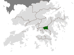
Wong Tai Sin District (Chinese: 黃大仙區) is one of the 18 districts of Hong Kong. It is the only fully landlocked district throughout Hong Kong. It is located in Kowloon.
Geography
The district contains the areas of Diamond Hill, Wang Tau Hom, Lok Fu, Chuk Yuen, Wong Tai Sin, Tsz Wan Shan, Fung Wong, Choi Hung and Choi Wan, an area that includes several major public housing estates.
Demographics
Wong Tai Sin District has a population of 444,630 (2001 figures). The district has the least educated residents with the lowest income, the oldest residents and the second highest population density. Over 85% of the district's residents live in public-built housing.
Religion
The district derives its name from the Wong Tai Sin Temple, dedicated to Wong Tai Sin, which is located there. The district is also the location of the Chi Lin Nunnery, built in the Tang Dynasty style, a popular tourist attraction.
Education
Schools in Wong Tai Sin District include:
- Our Lady's Primary School (聖母小學), established in 1953
- Wong Tai Sin Catholic Primary School (黃大仙天主教小學), established in 1962.
- Bishop Walsh Primary School (華德學校), established in 1963.
- Baptist Rainbow Primary School (浸信會天虹小學), established in 1984.
Transport
Wong Tai Sin is served by Lung Cheung Road and the Kwun Tong Line of the MTR metro system. The stations are Lok Fu, Wong Tai Sin, Diamond Hill and Choi Hung.
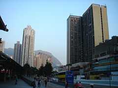
Gallery
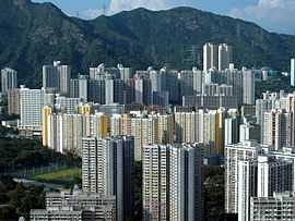 Several public housing estates located in Wong Tai Sin |
|
See also
- List of buildings, sites and areas in Hong Kong
External links