Williamson Mountain
| Williamson Mountain | |
|---|---|
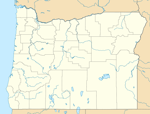 Williamson Mountain Location of the summit of Williamson Mountain in Oregon | |
| Elevation | 6,253 ft (1,906 m)[1] |
| Location | |
| Location | Deschutes County, Oregon, United States |
| Range | Cascade Range |
| Coordinates | 43°55′26″N 121°49′30″W / 43.92389°N 121.82500°WCoordinates: 43°55′26″N 121°49′30″W / 43.92389°N 121.82500°W |
| Topo map | Elk Lake, Oregon[2] |
| Climbing | |
| Easiest route | Hiking |
Williamson Mountain, elevation 6,253 feet (1,906 m),[1] is a peak in the Cascade Range in the U.S. state of Oregon. It is named after Lt. Robert S. Williamson, who with Lt. Philip Sheridan took part in the Pacific Railroad Surveys in central Oregon in 1855.[3] The United States Board on Geographic Names approved the name in 1931.[1] Before that, the peak was known by its Chinook Jargon name of Leloo Mountain (Wolf Mountain), derived from the French le loup (the wolf).[3]
The mountain lies slightly east of the border between Lane County and Deschutes County in the Deschutes National Forest and the Three Sisters Wilderness, southwest of Mount Bachelor.[4] The Six Lakes Trail crosses the mountain between Lucky Lake to the southeast and Senoj Lake to the northwest.[4] Forest Road 46 (Lava Lake Road) is about 2 miles (3.2 km) east of the mountain.[4]
References
- ↑ 1.0 1.1 1.2 "Williamson Mountain". Geographic Names Information System. United States Geological Survey (USGS). November 28, 1980. Retrieved March 5, 2011.
- ↑ United States Geological Survey (USGS). "United States Geological Survey Topographic Map". TopoQuest. Retrieved March 5, 2011.
- ↑ 3.0 3.1 McArthur, Lewis A.; Lewis L. McArthur (2003) [1928]. Oregon Geographic Names (7th ed.). Portland: Oregon Historical Society Press. pp. 1043–44. ISBN 0-87595-277-1.
- ↑ 4.0 4.1 4.2 Oregon Atlas & Gazetteer (Map) (1991 ed.). DeLorme Mapping. § 44. ISBN 0-89933-235-8.