Wila Wila (Peru)
For the mountain in the La Paz Department, Bolivia, see Wila Wila (Bolivia). For the district in the Lampa Province, Puno Region, Peru, see Vilavila District.
| Wila Wila | |
|---|---|
 Wila Wila Peru | |
| Elevation | 4,925 m (16,158 ft)[1] |
| Location | |
| Location | Peru, Puno Region, Puno Province |
| Range | Andes |
| Coordinates | 15°57′33″S 70°25′31″W / 15.95917°S 70.42528°WCoordinates: 15°57′33″S 70°25′31″W / 15.95917°S 70.42528°W |
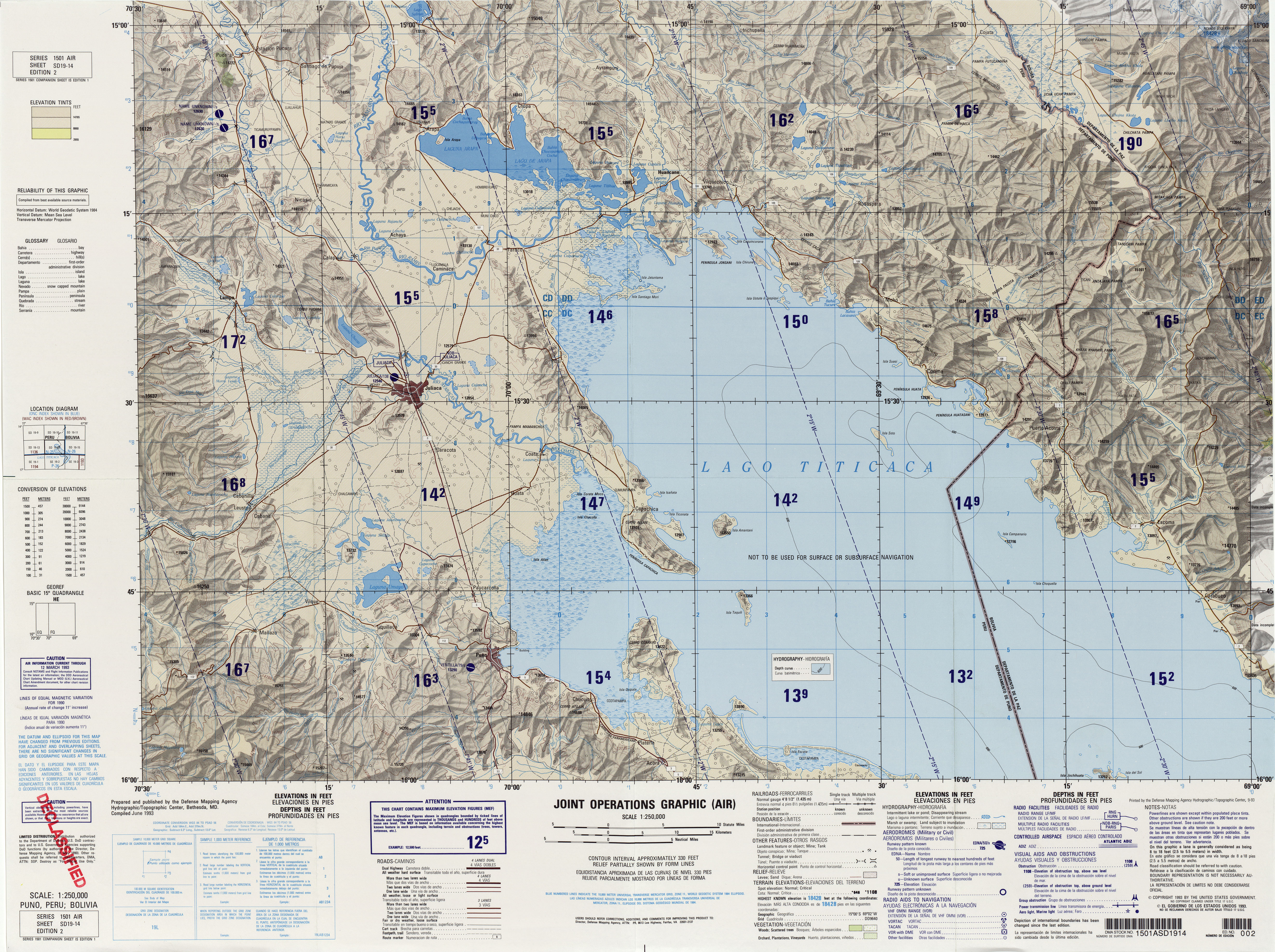
Wila Wila (Aymara wila blood, blood-red,[2][3] the reduplication indicates that there is a group or a complex of something, "a complex of red color", hispanicized spelling Vilavila) is a mountain in the Andes of Peru, about 4,925 metres (16,158 ft) high. It is situated in the Puno Region, Puno Province, on the border of the districts Mañazo and Tiquillaca. Wila Wila lies between the lake Mayasani in the west and the river Wanuni (Huanune) in the east.[4]
References
- ↑ "South America Maps". Joint Operations Graphic. Retrieved July 3, 2014.
- ↑ Radio San Gabriel, "Instituto Radiofonico de Promoción Aymara" (IRPA) 1993, Republicado por Instituto de las Lenguas y Literaturas Andinas-Amazónicas (ILLLA-A) 2011, Transcripción del Vocabulario de la Lengua Aymara, P. Ludovico Bertonio 1612 (Spanish-Aymara-Aymara-Spanish dictionary)
- ↑ "Diccionario Quechua - Aymara al español". katari.org. Retrieved July 3, 2014.
- ↑ escale.minedu.gob.pe - UGEL map of the Puno Province 1 (Puno Region)