Wheeler, Indiana
| Wheeler, Indiana | |
|---|---|
| Census-designated place | |
 | |
 Wheeler | |
| Coordinates: 41°30′42″N 87°10′45″W / 41.51167°N 87.17917°WCoordinates: 41°30′42″N 87°10′45″W / 41.51167°N 87.17917°W | |
| Country | United States |
| State | Indiana |
| County | Porter |
| Township | Union |
| Area | |
| • Total | 2.7 sq mi (6.9 km2) |
| • Land | 2.7 sq mi (6.9 km2) |
| • Water | 0.0 sq mi (0.0 km2) |
| Elevation[1] | 666 ft (203 m) |
| Population (2010) | |
| • Total | 443 |
| • Density | 167/sq mi (64.4/km2) |
| ZIP code | 46393 |
| Area code(s) | 219 |
| GNIS feature ID | 445882 |
| FIPS code | 18-83600[2] |
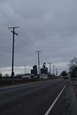
Wheeler is an unincorporated census-designated place (CDP) in northern Union Township, Porter County, Indiana, United States. It lies along State Road 130, northwest of the city of Valparaiso, the county seat of Porter County.[3] Its elevation is 666 feet (203 m), and it is located at 41°30′42″N 87°10′45″W / 41.51167°N 87.17917°W (41.5117046, -87.1792001).[4] Although Wheeler is unincorporated, it has a post office, with the ZIP code of 46393. [5] The population of Wheeler was 443 at the 2010 census.[6]
References
- ↑ "US Board on Geographic Names". United States Geological Survey. 2007-10-25. Retrieved 2008-01-31.
- ↑ "American FactFinder". United States Census Bureau. Retrieved 2008-01-31.
- ↑ DeLorme. Indiana Atlas & Gazetteer. 3rd ed. Yarmouth: DeLorme, 2004, p. 19. ISBN 0-89933-319-2.
- ↑ Geographic Names Information System Feature Detail Report, Geographic Names Information System, 1979-02-14. Accessed 2008-06-01.
- ↑ Zip Code Lookup
- ↑ "Geographic Identifiers: 2010 Demographic Profile Data (DP-1): Wheeler CDP, Indiana". U.S. Census Bureau, American Factfinder. Retrieved March 25, 2013.
| |||||||||||||||||||||||||||||||||