Whale Rock Light
|
| |
 | |
| Coordinates | 41°26′37″N 71°25′25″W / 41.44361°N 71.42361°WCoordinates: 41°26′37″N 71°25′25″W / 41.44361°N 71.42361°W |
|---|---|
| Year first constructed | 1882 |
| Year first lit | 1882 |
| Deactivated | Destroyed by the Hurricane of 1938 |
| Foundation | Bedrock |
| Construction | Cast Iron |
| Tower shape | Conical |
| Markings / pattern | White with black lantern |
| Original lens | Fourth order Fresnel lens |
| ARLHS number | USA-883 |
| USCG number |
1-19090 [1] [2] |
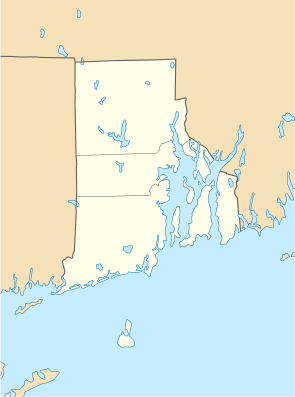
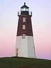
Whale Rock Light was a sparkplug lighthouse marking Whale Rock, a dangerous island in the entrance to the West Passage into Narragansett Bay.
The lighthouse was built on the rock in 1882, but the Hurricane of 1938 destroyed it, killing the keeper. Part of the lighthouse foundation remains and the remains of the lighthouse are underwater nearby.[1][2] The rock is now marked by Whale Rock Lighted Gong Buoy 3.[3]
References
- ↑ 1.0 1.1 "Historic Light Station Information and Photography: Rhode Island". United States Coast Guard Historian's Office.
- ↑ 2.0 2.1 Rowlett, Russ (2009-10-03). "Lighthouses of Rhode Island". The Lighthouse Directory. University of North Carolina at Chapel Hill.
- ↑ Light List, Volume I, Atlantic Coast, St. Croix River, Maine to Shrewsbury River, New Jersey (PDF). Light List. United States Coast Guard. 2013. p. 177.
