West End Airport
| West End Airport | |||||||||||
|---|---|---|---|---|---|---|---|---|---|---|---|
| IATA: WTD – ICAO: MYGW | |||||||||||
| Summary | |||||||||||
| Airport type | Public | ||||||||||
| Serves | Grand Bahama | ||||||||||
| Location | West End, Bahamas | ||||||||||
| Elevation AMSL | 5 ft / 2 m | ||||||||||
| Coordinates | 26°41′07″N 078°58′30″W / 26.68528°N 78.97500°WCoordinates: 26°41′07″N 078°58′30″W / 26.68528°N 78.97500°W | ||||||||||
| Map | |||||||||||
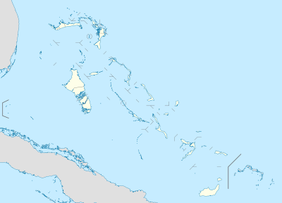 MYGW Location in the Bahamas | |||||||||||
| Runways | |||||||||||
| |||||||||||
|
Source: Great Circle Mapper[1] | |||||||||||
West End Airport (IATA: WTD, ICAO: MYGW) is an airport that serves Grand Bahama.[2] While smaller than the other airport on the island located in Freeport, this airport has a paved runway 6,500 in length. This airport was recently re-opened (June 2014) and serves private planes and charters. The runway the westernmost runway in the entire Bahamian archipelago.
References
- ↑ Airport information for MYGW at Great Circle Mapper.
- ↑ Airport guide