Welshfield, Ohio
| Welshfield, Ohio | |
|---|---|
| Unincorporated community | |
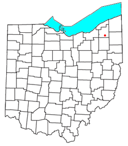 Location of Welshfield, Ohio | |
| Coordinates: 41°23′13″N 81°8′32″W / 41.38694°N 81.14222°WCoordinates: 41°23′13″N 81°8′32″W / 41.38694°N 81.14222°W | |
| Country | United States |
| State | Ohio |
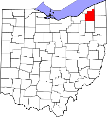
| County | Geauga |
| Township | Troy |
| Elevation | 1,234 ft (376 m) |
| Time zone | Eastern (EST) (UTC-5) |
| • Summer (DST) | EDT (UTC-4) |
| GNIS feature ID | 1061727[1] |
Welshfield (also Troy, Troy Center, Troy Centre, or Wellsfield) is an unincorporated community in central Troy Township, Geauga County, Ohio, United States. It lies at the intersection of U.S. Route 422 and State Route 700, 1 mi (1½ km) east of the Cuyahoga River and 3 mi (5 km) east of the LaDue Reservoir.[2] Its elevation is 1,234 feet (376 m).[1] The community once had a post office that was established on 23 February 1838. When it was discontinued on 30 December 1958, the Burton office began to handle mail for Welshfield addresses.[3]
References
- ↑ 1.0 1.1 "Welshfield, Ohio". Geographic Names Information System. United States Geological Survey. Retrieved 2008-03-24.
- ↑ DeLorme. Ohio Atlas & Gazetteer. 7th ed. Yarmouth: DeLorme, 2004, p. 42. ISBN 0-89933-281-1.
- ↑ Geographic Names Information System Feature Detail Report, Geographic Names Information System, 1992-08-17. Accessed 2008-03-24.
| |||||||||||||||||||||||||||||||||