Wapiti River
Wapiti River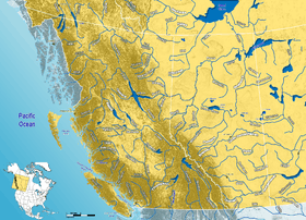 | |
|---|---|
| Origin |
Tuck Lake, Wapiti Pass 54°26′26″N 120°47′25″W / 54.44069°N 120.79021°W |
| Mouth |
Smoky River 55°08′16″N 118°18′05″W / 55.13784°N 118.30152°W |
| Basin countries |
|
| Source elevation | 1,370 m (4,490 ft) |
| Mouth elevation | 485 m (1,591 ft) |
| Avg. discharge | 100 m³/s |
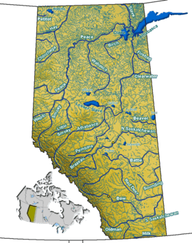
The Wapiti River is a river in eastern British Columbia and western Alberta, Canada. It is a major tributary of the Smoky River, located in the southern area of the Peace River Basin.
Wapiti is named after the Cree word for elk (waapiti).
Course
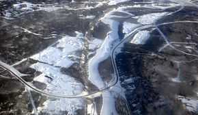
Wapiti River originates as the outflow of Tuck Lake, east of Wapiti Pass, in Wapiti Lake Provincial Park, west-central British Columbia, in the Canadian Rockies. It then runs in a north-eastern direction, crosses into Alberta, where it becomes more meandered as it continues through the County of Grande Prairie No. 1. It merges into the Smoky River 30 km (19 mi) east of Grande Prairie.
From west to east, Wapiti River flows through the alpine environment of the Rocky Mountains, the rolling foothills, then farmlands and aspen parkland in western Alberta. Wapiti Lake Provincial Park, Bear River Park, O'Brien Provincial Park and Pipestone Creek Park[1] are protected areas along the river.
Close to its mouth, Wapiti has an average discharge of 100 m³/s.[2]
Tributaries and crossings
See also
- List of British Columbia rivers
- List of Alberta rivers
References
- ↑ Discover the Peace Country - Pipestone Creek Park
- ↑ Alberta Environment - Wapiti Discharge graph
| ||||||||||||||||||||||||||||
| ||||||||||||||