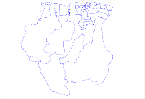
Wageningen, Suriname
| Wageningen | |
|---|---|
 Wageningen Location in Suriname | |
| Coordinates: 5°46′N 56°41′W / 5.767°N 56.683°WCoordinates: 5°46′N 56°41′W / 5.767°N 56.683°W | |
| Country |
|
| District | Nickerie District |
| Area | |
| • Total | 1,613 km2 (623 sq mi) |
| Elevation | 1 m (3 ft) |
| Population (2012 census) | |
| • Total | 1,937 |
| • Density | 1.2/km2 (3.1/sq mi) |
Wageningen is a community resort and an agricultural place in the Republic of Suriname and located in the coastal area of West Suriname in the Nickerie District, at the harbour of the Nickerie river across the right estuary of the Maratakka river. Wageningen is well known as the rice centre of Suriname and is located on the world map as 5° 46' NB, 56° 41' WL. Wageningen has the presence of large piece of fertile land, desired climate with enough rainfall and the absence of natural disasters.
The village of Wageningen is located about 54 kilometers away from New Nickerie, the main city of district Nickerie and 203 kilometers away from Paramaribo, the capital city of Suriname. This small village has a population of about 6,000. Wageningen has a police office, an administrative office and a doctor’s. There is also a landing strip for small airplanes for agricultural purposes.
| ||||||||||||||||||||||||||||||||||||||||||||
