Wabowden
| Wabowden | |
|---|---|
|
Sign for Wabowden, Manitoba, Canada | |
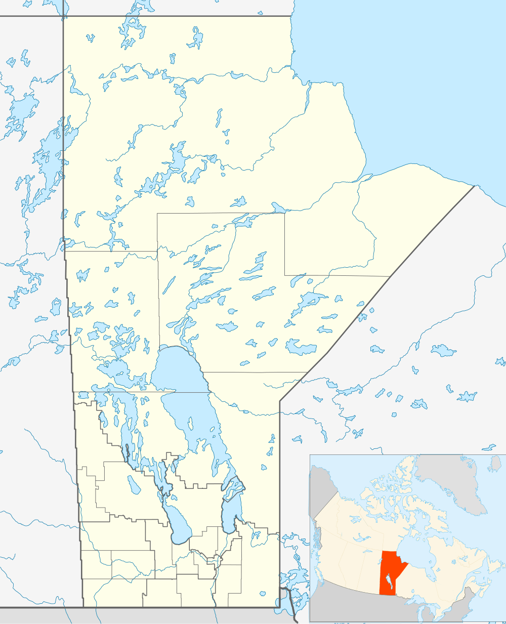 Wabowden Location of Wabowden in Manitoba | |
| Coordinates: 54°54′32″N 98°37′47″W / 54.90889°N 98.62972°WCoordinates: 54°54′32″N 98°37′47″W / 54.90889°N 98.62972°W | |
| Country |
|
| Province |
|
| Region | Manitoba |
| Census Division | No. 22 |
| Government | |
| • MP | Niki Ashton |
| • MLA | Steve Ashton |
| Area | |
| • Total | 31.78 km2 (12.27 sq mi) |
| Population (2006 Census[1]) | |
| • Total | 498 |
| • Density | 16/km2 (41/sq mi) |
| Time zone | CST (UTC−6) |
| • Summer (DST) | CDT (UTC−5) |
| Postal code | R0B 1S0 |
| Area code(s) | 204 |
| NTS Map | 063J15 |
| GNBC Code | GBCTE |
| Website | Community of Wabowden |

Wabowden is a community in northern Manitoba. It is situated on Provincial Trunk Highway #6, which is the main route between Thompson and the provincial capital, Winnipeg.
The community, which has the status of designated place in Canadian census data, had a population of 498 in the Canada 2006 Census.
History
The community originated in the early 20th century as a service point on the Hudson Bay Railway. Although the railway's presence in Wabowden has diminished over time, it continues to serve the community by transporting freight and passengers to the Wabowden railway station.
Wabowden's name is derived from that of a one-time railway executive, W.A. Bowden.
Mining
Crowflight Minerals is currently preparing Bucko Lake Mine for rehabilitation. The mine shaft was developed in the 1970s by Falconbridge Limited.
Local media
Television
- CBWMT (channel 10) (CBC)
 |
Thompson | | ||
| Flin Flon | |
Oxford House | ||
| ||||
| | ||||
| Grand Rapids |
References
- ↑ "Population and dwelling counts, for Canada, provinces and territories, and designated places, 2006 and 2001 censuses - 100% data". Statistics Canada, 2006 Census of Population. 2008-11-05. Retrieved 2012-09-15.