Velika Kapela
| Velika Kapela | |
|---|---|
_-_panorama.jpg) Eastern slopes of the Velika Kapela with ruins of the Tržan Castle in Modruš | |
| Elevation | 1,526 m (5,007 ft) |
| Location | |
 Velika Kapela The highest peak of Velika Kapela | |
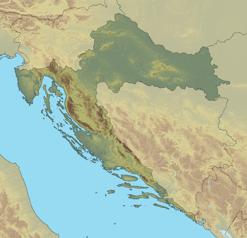
| Location | Gorski kotar, Croatia |
| Range | Dinaric Alps |
| Coordinates | 45°16′20″N 14°57′45″E / 45.272168°N 14.962506°ECoordinates: 45°16′20″N 14°57′45″E / 45.272168°N 14.962506°E |
The Velika Kapela (pronounced [ʋɛ̂likaː kǎpɛla]; Great Chapel) is a large mountain range in the east of Gorski Kotar, Croatia.
The highest peak is Bjelolasica-Kula at 1533 m.a.s.l..[1] It overlooks Velebit, Plješivica, islands Krk, Cres, Lošinj, and the Kvarner Gulf.
Velika Kapela belongs to the Dinaric Alps, and it stretches from the Gorski Kotar region in the west, to the Mala Kapela and Lika in the east, from the Ogulin valley in the north, to the Vinodolski coastline in the south. The area is narrowest mountain prague between continental Pannonia and the coastal Mediterranean. Velika Kapela is mainly composed of karst — limestone rocks.
On the Velika Kapela there are many protected areas and landscapes. The famous are White cliffs and Samarske cliffs (Bijele i Samarske stijene), and Klek above Frankopan town of Ogulin.
See also
References
- ↑ Ostroški, Ljiljana, ed. (December 2013). Statistički ljetopis Republike Hrvatske 2013 [2013 Statistical Yearbook of the Republic of Croatia] (PDF). Statistical Yearbook of the Republic of Croatia (in Croatian and English) 45. Zagreb: Croatian Bureau of Statistics. p. 42. ISSN 1334-0638. Retrieved 17 February 2014.
| Wikimedia Commons has media related to Velika Kapela. |