Velbastaður
| Velbastaður | |
|---|---|
| Village | |
|
Velbastaður. At left the island Koltur | |
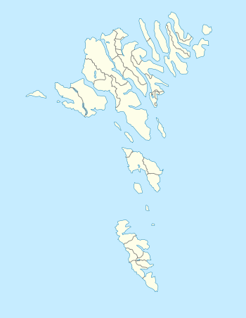 Velbastaður Location in the Faroe Islands | |
| Coordinates: 61°59′5″N 6°51′2″W / 61.98472°N 6.85056°WCoordinates: 61°59′5″N 6°51′2″W / 61.98472°N 6.85056°W | |
| State |
|
| Constituent country |
|
| Island | Streymoy |
| Municipality | Tórshavnar kommuna |
| Population (1 January 2006) | |
| • Total | 172 |
| Time zone | GMT |
| • Summer (DST) | EST (UTC+1) |
| Postal code | FO 176 |
.jpg)
Velbastaður is a village on the island of Streymoy in the Faroe Islands.
Velbastaður is on Streymoy’s west coast in the south of the island, about five kilometres from Kirkjubøur. It has a beautiful view across the strait Hestsfjørður towards the islands of Hestur and Koltur.
There has been a village here for many centuries, but it was deserted for some time after the Black Death in 1349.
A treatment centre for alcoholics called Heilbrigdið was founded in 1986.
.jpg)
Velbastaður
.JPG)
Scene in Velbastaður
See also
| Wikimedia Commons has media related to Velbastaður. |
References
- Jón Fossá. "Velbastaður". Faroeislands.dk All villages on the Faroe Islands. Retrieved 2006-07-15.
- Swaney, Deanna (June 1999) [1991]. Iceland, Greenland & the Faroe Islands (3rd edition ed.). Lonely Planet Publications. ISBN 0-86442-453-1. Check date values in:
|year= / |date= mismatch(help)