Vasvár
| Vasvár | |
|---|---|
|
Aerial photography of Vasvár | |
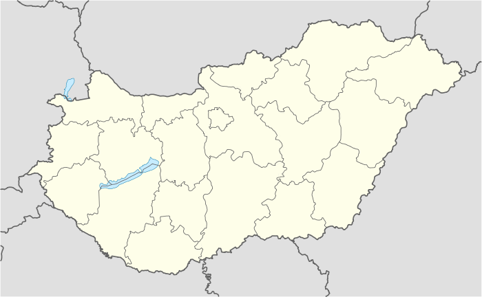 Vasvár Location of Vasvár | |
| Coordinates: 47°02′53″N 16°48′14″E / 47.04799°N 16.80389°ECoordinates: 47°02′53″N 16°48′14″E / 47.04799°N 16.80389°E | |
| Country |
|
| County | Vas |
| Area | |
| • Total | 55.1 km2 (21.3 sq mi) |
| Population (2004) | |
| • Total | 4,617 |
| • Density | 83.79/km2 (217.0/sq mi) |
| Time zone | CET (UTC+1) |
| • Summer (DST) | CEST (UTC+2) |
| Postal code | 9800 |
| Area code(s) | 94 |

Vasvár (German: Eisenburg, Slovene: Železnograd, Latin: (formerly) Castrum Ferrum), is a town in Vas county, Hungary.
History

Vasvár in the Kingdom of Hungary in 1907
While the Ottomans occupied most of central Europe, the region north of lake Balaton remained in the Kingdom of Hungary (1538–1867) (captaincy between Balaton and Drava). The town was the head of the EISENBURG comitat near 1850.[1] Until 1918, VASVÁR was part of the Austrian monarchy, province of Hungary;[2] in Transleithania after the compromise of 1867 in the Kingdom of Hungary.
References
See also
- Peace of Vasvár
- Vasvári kistérség (hu)
