Vanavana
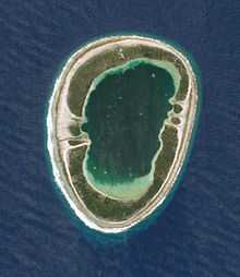 NASA picture of Vanavana Atoll | |
 | |
| Geography | |
|---|---|
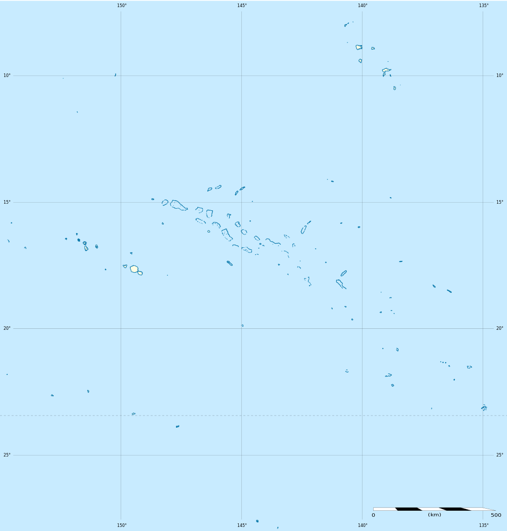
| Location | Pacific Ocean |
| Coordinates | 20°47′S 139°10′W / 20.783°S 139.167°WCoordinates: 20°47′S 139°10′W / 20.783°S 139.167°W |
| Archipelago | Tuamotus |
| Area |
6 km2 (2.3 sq mi) (lagoon) 5 km² (above water) |
| Length | 3.5 km (2.17 mi) |
| Width | 2.2 km (1.37 mi) |
| Country | |
|
France | |
| Overseas collectivity | French Polynesia |
| Administrative subdivision | Tuamotus |
| Commune | Tureia |
| Demographics | |
| Population | Uninhabited[1] (as of 2012) |
Vanavana, Kurataki, or Huataki is an atoll in the southeastern area of the Tuamotu Archipelago, French Polynesia. Vanavana's nearest neighbour is Tureia, which is located 58 km to the east.
Vanavana is a small oval-shaped atoll. It measures approximately 3.5 km in length, has a maximum width of 2.2 km and a land area of approximately 5 km2. Its reef encloses completely the deep lagoon, which is 6 km2. There is one hook-shaped large island in the north and another in the south of its reef.
Vanavana Atoll is uninhabited; however, buildings on the northern end of the island are present.
History
The first recorded European to arrive to Vanavana was British mariner Captain Frederick Beechey in 1826. He named this atoll "Barrow Island", after Sir John Barrow.
Administration
Administratively Vanavana Atoll belongs to the commune of Tureia, which includes the atolls of Tureia, Fangataufa, Moruroa, Tematangi and Vanavana.
References
- ↑ "Population". Institut de la statistique de la Polynésie française. Retrieved 22 September 2014.
External links
| ||||||||||||||||||||