Van Meter State Park
| Van Meter State Park | |
| Missouri State Park | |
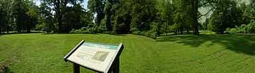 Missouri tribe fort at the park | |
| Country | United States |
|---|---|
| State | Missouri |
| County | Saline |
| Elevation | 663 ft (202 m) [1] |
| Coordinates | 39°15′53″N 93°16′05″W / 39.26472°N 93.26806°WCoordinates: 39°15′53″N 93°16′05″W / 39.26472°N 93.26806°W [1] |
| Area | 1,105 acres (447 ha) |
| Established | 1932 |
| Management | Missouri Department of Natural Resources |
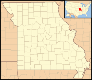 Location in Missouri
| |
| Website: Van Meter State Park | |
Van Meter State Park is a state park in the U.S. state of Missouri. The park consists of 1,104.63 acres (447.03 ha) of hills, ravines, and bottomland along the Missouri River in Saline County in an area known locally as the Pinnacles, which for centuries were traversed by a Native American tribe known to the French settlers as “Oumessourit,” or Missouri Indians. The site contains remnants of an old Native American village, known as Utz Site, a sizeable earthworks named Old Fort and the Mound Field. The area's native history is interpreted in the park's cultural center through exhibits and murals.[2]
Activities available at Van Meter include camping, hiking, and fishing in an 18-acre (7.3 ha) lake. Natural features include a fresh water marsh, fens, and bottomland and upland forests.
Utz Site and Old Fort are included in the National Register of Historic Places.[3]
References
- ↑ 1.0 1.1 "Van Meter State Park". Geographic Names Information System. United States Geological Survey.
- ↑ "Van Meter State Park". Missouri State Parks. Missouri Department of Natural Resources. Retrieved September 4, 2014.
- ↑ Historic Places in Saline County - Missouri
External links
- Van Meter State Park Missouri Department of Natural Resources
- Description of Uzt site and finds
- Old Fort - Van Meter State Park