Vale View, Queensland
| Vale View Toowoomba, Queensland | |||||||||||||
|---|---|---|---|---|---|---|---|---|---|---|---|---|---|
|
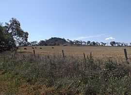
Paddocks along Franks Road at Vale View, 2014 | |||||||||||||
| Coordinates | 27°39′40″S 151°54′14″E / 27.661°S 151.904°ECoordinates: 27°39′40″S 151°54′14″E / 27.661°S 151.904°E | ||||||||||||
| Population | 700 (2011)[1] | ||||||||||||
| Postcode(s) | 4352 | ||||||||||||
| Location | 14 km (9 mi) SSW of Toowoomba | ||||||||||||
| LGA(s) | Toowoomba Region | ||||||||||||
| State electorate(s) | Condamine | ||||||||||||
| Federal Division(s) | Groom | ||||||||||||
| |||||||||||||
Vale View is a rural locality south of Toowoomba, Queensland, Australia, 14 kilometres (9 mi) from the central business district.[2] At the 2011 Australian Census Vale View and surrounds recorded a population of 700.[1]
The Southern railway line marks a small section of the northwest boundary of Vale View. The New England Highway is aligned with the southeast boundary.
References
- ↑ 1.0 1.1 Australian Bureau of Statistics (31 October 2012). "Vale View (State Suburb)". 2011 Census QuickStats. Retrieved 26 October 2014.
- ↑ Department of Environment and Resource Management. "Place name details – Vale View". Retrieved 4 June 2011.
| ||||||||||||||||||