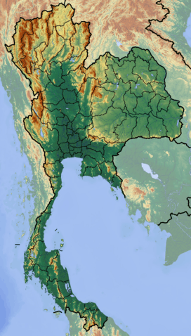
Vajiralongkorn Dam
| Vajiralongkorn Dam | |
|---|---|
|
The Vajiralongkorn Dam | |
 | |
| Official name | Vajiralongkorn Dam |
| Location | Kanchanaburi, Thailand |
| Coordinates | 14°47′58″N 98°35′49″E / 14.79944°N 98.59694°ECoordinates: 14°47′58″N 98°35′49″E / 14.79944°N 98.59694°E |
| Construction began | 1979 |
| Opening date | 1984 |
| Operator(s) | Electricity Generating Authority of Thailand |
| Dam and spillways | |
| Type of dam | Embankment, concrete-face rock-fill |
| Impounds | Khwae Noi River |
| Height | 92 m (302 ft) |
| Length | 1,019 m (3,343 ft) |
| Width (base) | 10 m (33 ft) |
| Dam volume | 8,100,000 m3 (10,594,400 cu yd)[1] |
| Power station | |
| Turbines | 3 x 100 MW Francis-type |
| Installed capacity | 300 MW |
| Annual generation | 760 GWh |
Vajiralongkorn Dam, formerly named the Khao Laem Dam, is a concrete-face rock-fill dam (CFRD) in Thong Pha Phum district in Kanchanaburi, Thailand. The dam lies across the Khwae Noi River (River Kwai) and was renamed Vajiralongkorn Dam after Crown Prince Maha Vajiralongkorn on July 13, 2001. Vajiralongkorn Dam is Thailand's first CFRD and supplies a 300 MW hydroelectric power station with water.[2]
Construction
Dam construction began in 1979 and took five years to complete. Its reservoir started filling with water in June, 1984. Three 100MW hydropower generators came on line in October and December, 1984 and February 1985 respectively. The reservoir created by the dam has a maximum storage capacity of 8,860 million cubic meters covering a total catchment area of 3,720 square kilometers. Average runoff into the reservoir is approximately 5,500 million cubic meters per year.
See also
- List of power stations in Thailand
- Srinagarind Dam - downstream
References
- ↑ Tan, edited by Martin Wieland, Qingwen Ren, John S.Y. (2004). New developments in dam engineering. London: Balkema. p. 114. ISBN 0-415-36240-7.
- ↑ Vajiralongkorn Dam and Hydropower Plant (brochure), Electricity Generating Authority of Thailand (EGAT) Public Relations Division, November 2002