Uzunköprü
| Uzunköprü | |
|---|---|
 Uzunköprü | |
| Coordinates: 41°16′01″N 26°41′15″E / 41.26694°N 26.68750°ECoordinates: 41°16′01″N 26°41′15″E / 41.26694°N 26.68750°E | |
| Country |
|
| Province | Edirne |
| Government | |
| • Mayor | Enis İşbilen (CHP) |
| • Kaymakam | Uğur Kolsuz |
| Area[1] | |
| • District | 1,213.00 km2 (468.34 sq mi) |
| Population (2012)[2] | |
| • Urban | 40,343 |
| • District | 66,061 |
| • District density | 54/km2 (140/sq mi) |
| Website |
www |
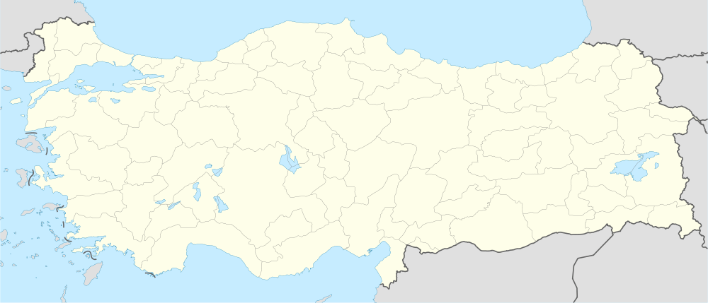
Uzunköprü is a small town and a district of Edirne Province in northwestern Turkey.
It is on the railway line from Istanbul towards Sofia, Belgrade and western Europe, and a frontier post on the Greek border.
Long Bridge
The Uzunköprü Bridge meaning "Long Bridge" (Turkish: Uzun köprü) gave its name to the town. The bridge was built between 1426 and 1443 by head architect Muslihiddin on the orders of Ottoman Sultan Murad II. The ancient stone-built bridge, which has 174 arches, is 1,329 m (4,360 ft) long and up to 6.80 m (22.3 ft) wide. Some of the arches are pointed and some are round. Uzunköprü is the longest stone bridge in Turkey.
The bridge was made to cross the Ergene River, which was a natural barrier for advances into the Balkans for the Ottoman Empire; its old name was Ergene Bridge (Ottoman Turkish: Cisr-i Ergene). It is so long in order to cross a low-lying marshy area. The bridge was restored in 1963.
The Edirne – Izmir state road still passes over Uzunköprü.
References
- ↑ "Area of regions (including lakes), km²". Regional Statistics Database. Turkish Statistical Institute. 2002. Retrieved 2013-03-05.
- ↑ "Population of province/district centers and towns/villages by districts - 2012". Address Based Population Registration System (ABPRS) Database. Turkish Statistical Institute. Retrieved 2013-02-27.
External links
| ||||||||||||||||||||||||||||||||||
| ||||||||||
