Union Township, Calhoun County, Iowa
| Union Township, Calhoun County | |
|---|---|
| Township | |
 | |
| Coordinates: 42°15′04″N 094°34′56″W / 42.25111°N 94.58222°WCoordinates: 42°15′04″N 094°34′56″W / 42.25111°N 94.58222°W | |
| Country |
|
| State |
|
| County | Calhoun |
| Area | |
| • Total | 35.47 sq mi (91.86 km2) |
| • Land | 35.47 sq mi (91.86 km2) |
| • Water | 0 sq mi (0 km2) |
| Elevation[1] | 1,168 ft (356 m) |
| Population (2000) | |
| • Total | 573 |
| • Density | 16.2/sq mi (6.2/km2) |
| FIPS code | 19-94179[2] |
| GNIS feature ID | 0468811 |
Union Township is one of sixteen townships in Calhoun County, Iowa, USA. As of the 2000 census, its population was 573.
History
Union Township was created in 1878.[3]
Geography
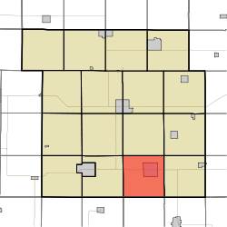
Union Township covers an area of 35.47 square miles (91.9 km2) and contains one incorporated settlement, Lohrville. According to the USGS, it contains two cemeteries: Evergreen and Evergreen.
References
- ↑ "US Board on Geographic Names". United States Geological Survey. 2007-10-25. Retrieved 2008-01-31.
- ↑ "American FactFinder". United States Census Bureau. Retrieved 2008-01-31.
- ↑ Stonebraker, Beaumont E. (1915). Past and Present of Calhoun County, Iowa: A Record of Settlement, Organization, Progress, and Achievement, Volume 1. Pioneer Publishing Company. p. 125.
External links
| |||||||||||||||||||||||||||||