Umurata
| Umurata | |
|---|---|
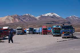 Chungara-Tambo Quemado pass with the mountains Umurata, Acotango and Capurata in the background (from l. to r.) | |
| Elevation | 5,717 m (18,757 ft)[1] |
| Location | |
 Umurata Location in Bolivia, on the border with Chile | |
| Location | Bolivia-Chile |
| Range | Andes, Cordillera Occidental |
| Coordinates | 18°21′20″S 69°2′59″W / 18.35556°S 69.04972°WCoordinates: 18°21′20″S 69°2′59″W / 18.35556°S 69.04972°W |
| Climbing | |
| First ascent | 1-1984 |
Umurata[2] is a mountain in the Andes, about 5,717 m (18,757 ft) high, situated in the Cordillera Occidental on the border of Bolivia and Chile. It is located in the Arica and Parinacota Region of Chile and in the Oruro Department of Bolivia, in the Sajama Province, Turku Municipality, Chachakumani Canton. Umurata lies south of the Uqi Uqini volcano, north of the Acotango and north-east of the Wallatiri volcano.[3] Umurata is situated south of National Route 4 near the Chungara-Tambo Quemado pass.
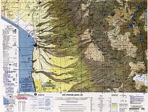
Map showing Umurata on the border of Bolivia and Chile
See also
References
- ↑ Jill Neate, Taken from Mountaineering in the Andes
- ↑ commons.wikimedia.org See map.
- ↑ Turku Municipality: population data and map