Twenty Mile Stand, Ohio

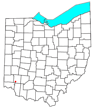
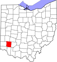
Twenty Mile Stand is an unincorporated community in southeastern Deerfield Township, Warren County, Ohio, United States. It lies on the old 3C Highway in Town 4 East, Range 2 North, Section 21 of the Symmes Purchase and in the center of the area known as "Landen". It is about three miles south-south west of Kings Mills, two miles southwest of Fosters, and twenty miles northeast of Cincinnati.
In the 19th century, the town served as a stagecoach stop 20 miles (32 km) from downtown Cincinnati, hence the name.[1]
References
- ↑ Peacefull, Leonard (1996). A Geography of Ohio. Kent State University Press. p. 217. Retrieved 8 December 2013.
- Elva R. Adams. Warren County Revisited. [Lebanon, Ohio]: Warren County Historical Society, 1989.
- The Centennial Atlas of Warren County, Ohio. Lebanon, Ohio: The Centennial Atlas Association, 1903.
- Josiah Morrow. The History of Warren County, Ohio. Chicago: W.H. Beers, 1883. (Reprinted several times)
- Ohio Atlas & Gazetteer. 6th ed. Yarmouth, Maine: DeLorme, 2001. ISBN 0-89933-281-1
- Warren County Engineer's Office. Official Highway Map 2003. Lebanon, Ohio: The Office, 2003.
| |||||||||||||||||||||||||||||||||
Coordinates: 39°18′23″N 84°16′48″W / 39.30639°N 84.28000°W
