Tuma Tumani
| Tuma Tumani | |
|---|---|
 Tuma Tumani Peru | |
| Elevation | 5,006.9 m (16,427 ft)[1] |
| Location | |
| Location | Peru, Puno Region, El Collao Province |
| Range | Andes |
| Coordinates | 17°11′12″S 69°47′32″W / 17.18667°S 69.79222°WCoordinates: 17°11′12″S 69°47′32″W / 17.18667°S 69.79222°W |
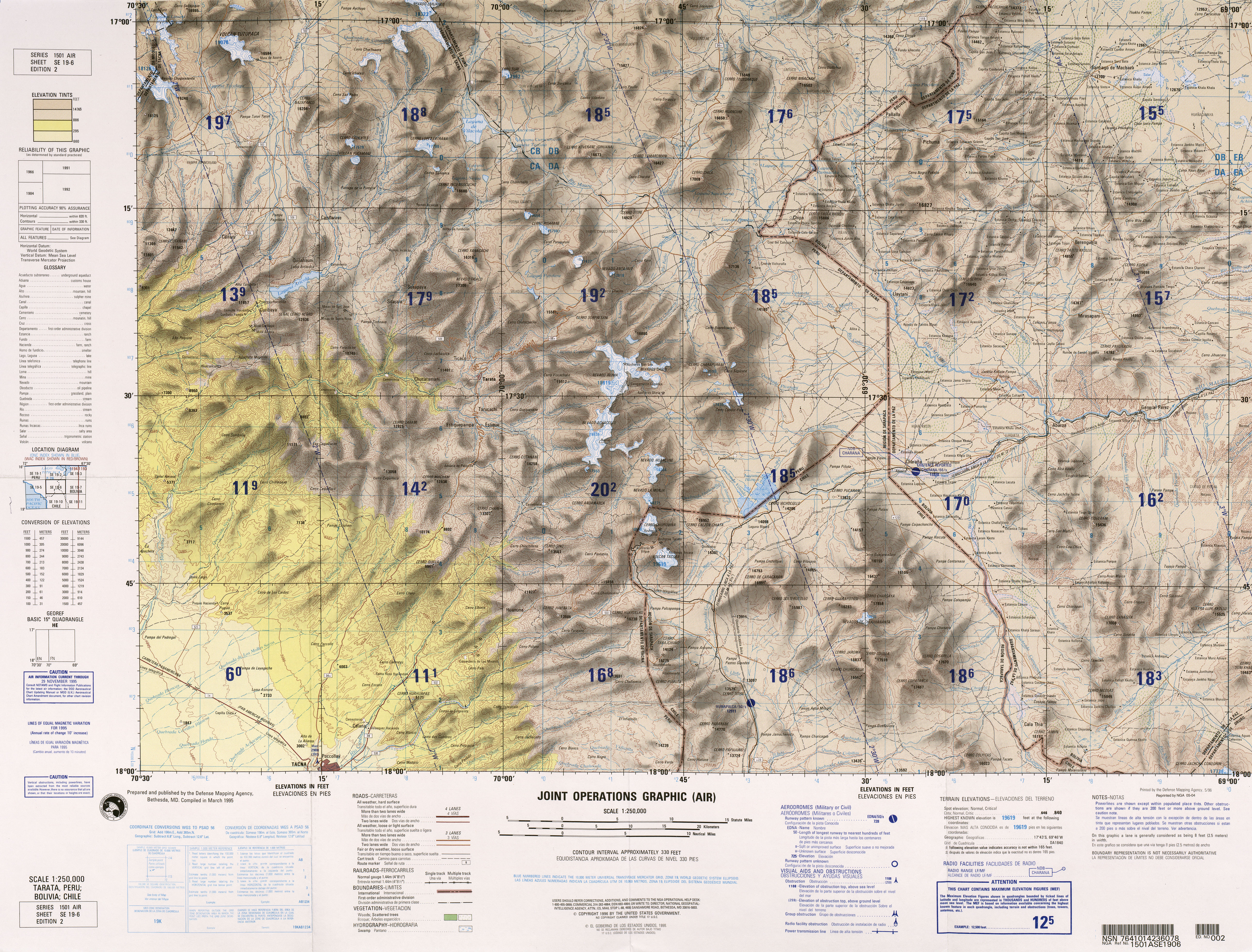
Tuma Tumani (Aymara tuma detour, a long way round,[2] the reduplication signifies that there is a group or a complex of something, -ni a suffix to indictate ownership, "the one with many detours", hispanicized and broken name Tomaromani) is a mountain in the Andes of southern Peru, about 5,006.9 metres (16,427 ft) high. It is situated in the Puno Region, El Collao Province, Capazo District. Tuma Tumani lies east of the mountain Jiwaña at the plain named Jiwaña Pampa. The Jiwaña River flows along its slopes before it reaches the Mawri River (Mauri).[3]
See also
References
- ↑ "South America Maps". Joint Operations Graphic. Retrieved July 14, 2014.
- ↑ Radio San Gabriel, "Instituto Radiofonico de Promoción Aymara" (IRPA) 1993, Republicado por Instituto de las Lenguas y Literaturas Andinas-Amazónicas (ILLLA-A) 2011, Transcripción del Vocabulario de la Lengua Aymara, P. Ludovico Bertonio 1612 (Spanish-Aymara-Aymara-Spanish dictionary)
- ↑ escale.minedu.gob.pe - UGEL map of the El Collao Province (Puno Region)