Towaninny, Victoria
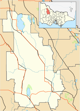
Towaninny is a locality in the Victoria, Australia, located approximately 35km from Wycheproof, Victoria.
Towaninnie (sic) Post Office opened on 1 October 1864 and closed in 1953. [2] The pastoral run here was known as Towaninnie, but when the area was surveyed and gazetted as a parish in 1871 the spelling was Towaninny.
See also
References
|
|---|
|
- Appin
- Appin South
- Bael Bael
- Beauchamp
- Benjeroop
- Budgerum East
- Burkes Bridge
- Cannie
- Capels Crossing
- Cohuna
- Cullen
- Daltons Bridge
- Dingwall
- Fairley
- Gannawarra
- Gonn Crossing
- Gredgwin
- Horfield
- Keely
- Kerang
- Kerang East
- Koondrook
- Koroop
- Lake Charm
- Lake Meran
- Lalbert
- Leitchville
- Macorna
- Macorna North
- McMillans
- Mead
- Meatian
- Meering West
- Milnes Bridge
- Mincha West
- Murrabit
- Murrabit West
- Myall
- Mystic Park
- Ninyeunook
- Normanville
- Oakvale
- Pine View
- Quambatook
- Reedy Lake
- Sandhill Lake
- Teal Point
- Tittybong
- Towaninny
- Tragowel
- Wandella
- Wee Wee Rup
- Westby
|
|