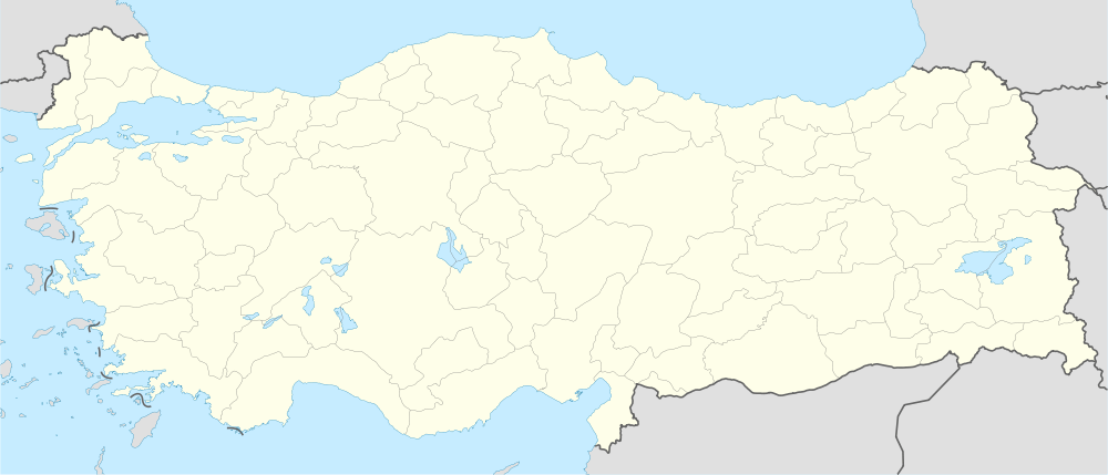
Toprakkale, Osmaniye
| Toprakkale | |
|---|---|
 Toprakkale | |
| Coordinates: 37°04′01″N 36°08′47″E / 37.06694°N 36.14639°ECoordinates: 37°04′01″N 36°08′47″E / 37.06694°N 36.14639°E | |
| Country | Turkey |
| Province | Osmaniye |
| Government | |
| • Mayor | Sedat Şanal (AKP) |
| • Kaymakam | Güngör Yıldırım |
| Area[1] | |
| • District | 125.30 km2 (48.38 sq mi) |
| Elevation | 67 m (220 ft) |
| Population (2012)[2] | |
| • Urban | 9,677 |
| • District | 16,791 |
| • District density | 130/km2 (350/sq mi) |
| Post code | 80950 |
| Website |
www |
Toprakkale is a town and district of Osmaniye Province in the Mediterranean region of Turkey. It is located at 10 km to the west of Osmaniye. Its name comes from an Abbasid castle near the city.
The town is on a road and rail crossing, a natural intersection of routes between Adana, Hatay and Gaziantep.
References
- ↑ "Area of regions (including lakes), km²". Regional Statistics Database. Turkish Statistical Institute. 2002. Retrieved 2013-03-05.
- ↑ "Population of province/district centers and towns/villages by districts - 2012". Address Based Population Registration System (ABPRS) Database. Turkish Statistical Institute. Retrieved 2013-02-27.
External links
- District governor's official website (Turkish)
- District municipality's official website (Turkish)
