Tombstone Territorial Park
| Tombstone Territorial Park | |
|---|---|
|
Tombstone Mountain | |
 | |
| Location |
|
| Nearest city |
Dawson, Yukon, |
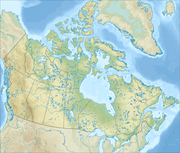
| Coordinates | 64°04′58″N 138°30′39″W / 64.08286°N 138.5109°WCoordinates: 64°04′58″N 138°30′39″W / 64.08286°N 138.5109°W |
| Governing body | Territorial |
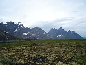
Tombstone Territorial Park is a territorial park in Yukon, Canada. It is located in central Yukon, near the southern end of the Dempster Highway, in an area of rolling tundra. The park is named for Tombstone Mountain's resemblance to a grave marker. It was made a park in 2000.[1]
References
- ↑ Earle, Teresa (9 August 2003). "Northern exposure". The Globe and Mail. Retrieved 25 February 2011.