Tidal River, Victoria
| Tidal River Victoria | |
|---|---|
|
Tidal River and the camp ground looking south | |
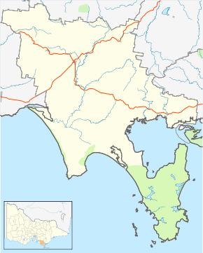 Tidal River Location in South Gippsland Shire | |
| Coordinates | 39°01′50″S 146°19′17″E / 39.03056°S 146.32139°ECoordinates: 39°01′50″S 146°19′17″E / 39.03056°S 146.32139°E |
| Postcode(s) | 3959 |
| Elevation | 5 m (16 ft) |
| Location | |
| LGA(s) | South Gippsland Shire |
| State electorate(s) | Gippsland South |
| Federal Division(s) | McMillan |

Tidal River is a locality in Wilsons Promontory National Park, Wilsons Promontory, Victoria, Australia. It contains the main park administration and service centres as well as a permanent camping ground that takes its name from the Tidal River, which flows past the camping ground to the north.
History
Tidal River was originally established as an army commando training base during World War Two, operating from 1940 to 1942.[1] At the end of the war, the previous National Park ranger station, chalet and camping area at Darby River was in such poor condition that it was not returned to use, but instead, remaining army buildings at Tidal River were adapted and reused for staff and visitor accommodation. In about 1950 the former Darby River ranger's cottage was relocated to Tidal River, leaving the Tidal River and Wilsons Promontory Lighthouse the only permanently inhabited parts of the park.[2]
The campsite and facilities
Tidal River is the only permanent camping ground within Wilsons Promontory National Park, nestled in sand dunes behind Norman Bay, on the western side of the peninsula. The only access road open to visitors leads from Yanakie at the park entrance to Tidal River, a distance of 32 km. When fully occupied, Tidal River is a township of over 2000 people with a general store, a service station, fish and chippery, café and an outdoor cinema, established since the late 1940s. Tidal River is the only place in Wilsons Promontory that has proper, flushing toilets.
Gallery
-

Tidal River as viewed from the summit of Mount Oberon.
-

Monument at Tidal River looking towards Mount Oberon.
References
| ||||||
| ||||||