Thorney Island (London)

Thorney Island was the eyot (or small island) on the Thames, upstream of mediaeval London, where Westminster Abbey and the Palace of Westminster (commonly known today as the Houses of Parliament) were built. It was formed by rivulets of the River Tyburn, which entered the Thames near the lowest point where it could be forded from the north bank at low tide. Its name came from Anglo-Saxon Þorn-īeg = "Thorn Island".
Thorney is described in a purported charter of King Offa, which is kept in the Abbey muniments, as a "terrible place" — to the delight of generations of the Westminster Schoolboys who comprise nowadays most of the permanent inhabitants of Thorney Island.
Despite hardships and Viking raids over the next 300 years, the monks tamed the thorny vegetation, until by the time of Edward the Confessor it was "A delightful place, surrounded by fertile land and green fields". The Abbey's College Garden[1] remains delightful, a thousand years later, the oldest garden in England.
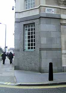
The level of the land has risen, the rivulets have been built over, and the Thames has been embanked. There is now no sign of Thorney Island. The name is kept only by Thorney Street, at the back of the MI5 Security Service building; but a local heritage organisation established by June Stubbs in 1976 took the name The Thorney Island Society.
In 1831 the boundaries of the former island were described as the Chelsea Waterworks, the Grosvenor Canal and the ornamental water in St. James's Park.[2]
Thorney Island is one of the places reputed to be the location of King Canute's demonstration that he could not command the tides.
)